0315L-WEDNESDAY OUTLOOK FROM GARFIELD COUNTY EMERGENCY MGMT-2/19/2020
1- Severe weather is right around the corner so to start a little early; I am providing you a link to our Garfield County Family Preparedness Guide. Here is the link https://gcem.org/wp-content/uploads/2019/05/FamilyPreparednessGuide2019.pdf I would download this to your phone or computer so you have a reference to information if needed.
2- You will also need our GARFIELD COUNTY EM app. It is loaded with a lot of information too. You can also input your info into it so if the worst happened, at least you have your phone. This is something to think about. Remember that all NWS WARNINGS and ADVISORIES automatically come through our app.
3- This year, I will continue to post information on both my personal and emergency management pages in the morning. If we go into operational mode, I will only send posts to the E.M. page and live social media information will only go to our @EGCEM page. We don’t have as many volunteers to come in and help anymore so time is of the essence. We’ll figure this out.
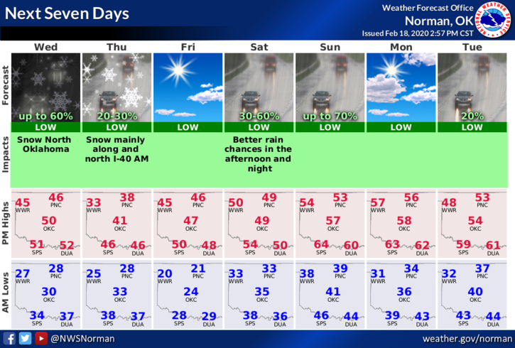
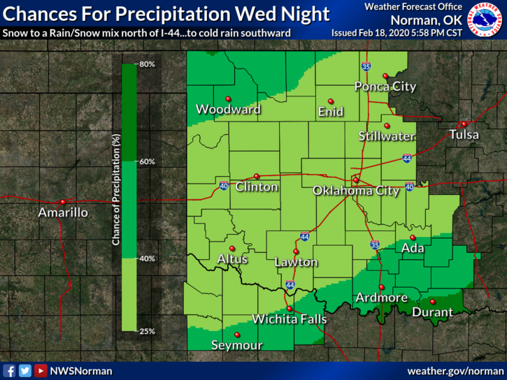
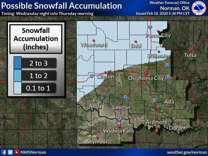
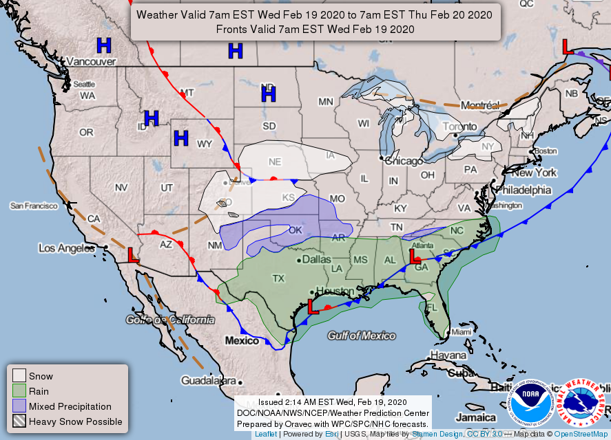
4-Weatherwise- there is a chance for some snow later tonight but impacts won’t be a major issue. Here is your forecast from the NWS/NORMAN;
Wednesday-Mostly cloudy with highs in the upper 40s. East winds around 10 mph.
Wednesday Night-Cloudy with a slight chance of rain and snow in the evening, then a chance of snow after midnight. Lows in the upper 20s with northeast winds 10 to 15 mph. Chance of precipitation 40 percent.
HAVE A GOOD DAY!!
MIKE