0335L-TUESDAY OUTLOOK FROM GARFIELD COUNTY EMERGENCY MANAGEMENT-1/29/19
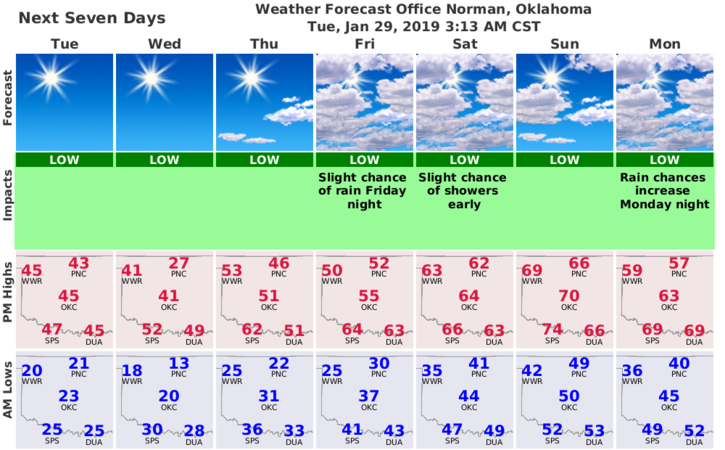
1) WORD FOR THIS WEEK: ROLLER COASTER. Temperatures will be up and down through early next week. Warmer temps look good for the latter part of this week though and then the bottom MIGHT possibly fall out next week. We will wait and see on that.
2) The winds along with the FIRE DANGER will be the main issue whether we have colder or warmer temps. Wind gusts may be up at times so be careful while driving. If you see smoke or fire, call 911.
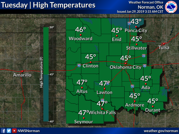
3) Here is your forecast from the NWS/NORMAN;
Tuesday- Sunny with a high near 45. West wind 5 to 15 mph.
Tuesday Night-Mostly clear with a low around 16. West southwest wind 6 to 10 mph becoming east northeast after midnight.
Finally, download our app- GARFIELD COUNTY EM. You’re NOT PREPARED without it.
HAVE A GOOD DAY!!
MIKE
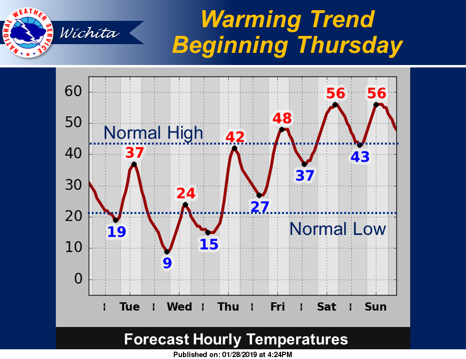
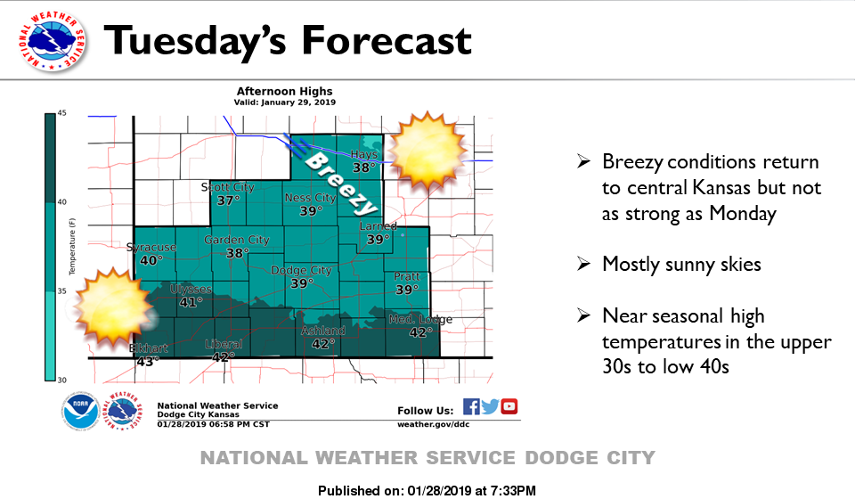
REMINDER, THE LAST 2 IMAGES ARE FROM THE NWS/WICHITA AND DODGE CITY