TUESDAY UPDATE FROM ENID/GARFIELD COUNTY EMERGENCY MANAGEMENT-7/10/18
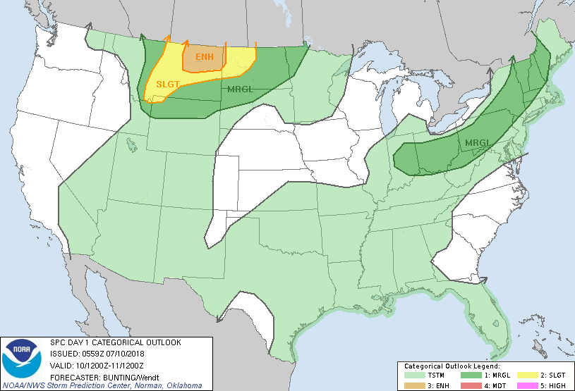
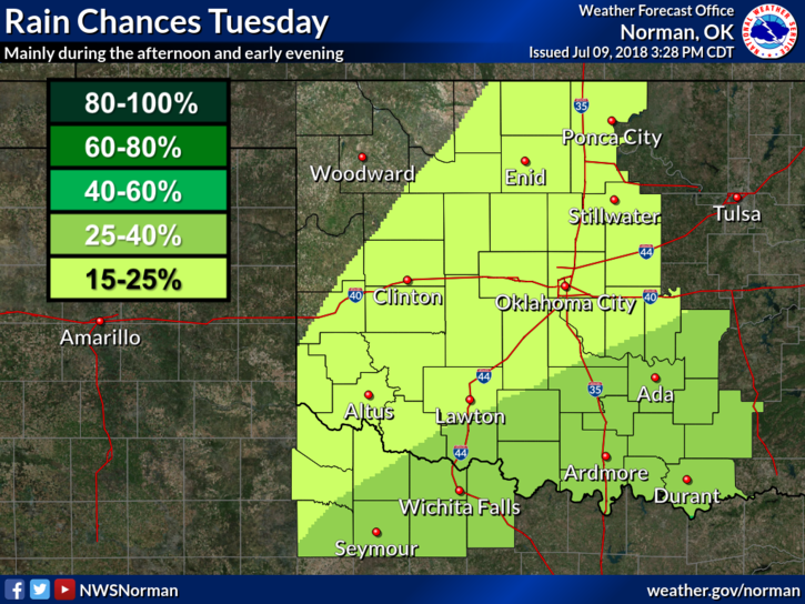
1- Hot and muggy with a 20% chance for thunderstorms. The percentage is low but IF IT RAINS, it will fall fast and heavy.
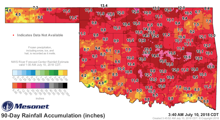
2-Over the last 90 days, we have had anywhere from 10-13 inches per the Oklahoma Mesonet. See graph below. Totals may be more or less in between these sites. You can get a lot of information from the Mesonet site at www.mesonet.org so check it out when you have time.
3- Download our GARFIELD COUNTY EM app. If you don’t have our app, you’re NOT prepared. An update is coming in the near future. I have been saying this for a few months but testing is important. When we are satisfied that it’s fully operational, it will be sent out. We’re not there yet but we are close.
4- Here is your forecast from the NWS/NORMAN;
Tuesday-20 percent chance of showers and thunderstorms after 1pm. Mostly sunny, with a high near 93. Heat index values as high as 97. Southeast wind 5 to 10 mph.
Tuesday Night-20 percent chance of showers and thunderstorms before 9pm. Partly cloudy, with a low around 75. Southeast wind 5 to 10 mph.
HAVE A SUPER DAY!!
MIKE