0405L-TUESDAY UPDATE FROM ENID/GARFIELD COUNTY EMERGENCY MANAGEMENT-7/17/18
DOWNLOAD OUR “Preparedness and Notification app-GARFIELD COUNTY EM. If you don’t have this app, YOU ARE NOT PREPARED!
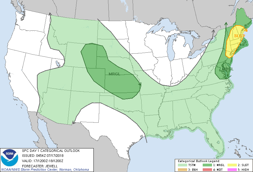
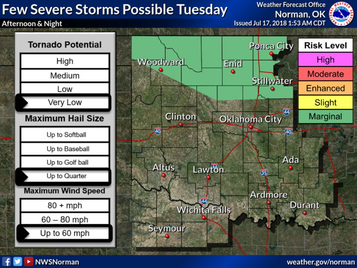
1- We are in a MARGINAL RISK for severe weather later today. RISKS– quarter size hail and winds to 60 mph. The RISK LEVEL “may” be raised to SLIGHT based on new data per the SPC later this morning. We’ll wait and see.
2- Meanwhile, the heat will continue and the heat index will remain high so be extremely careful out there. It also appears that we will be very hot by Friday but we have been near these temps already this year. No reason to panic, just take extra precautions to stay cool.
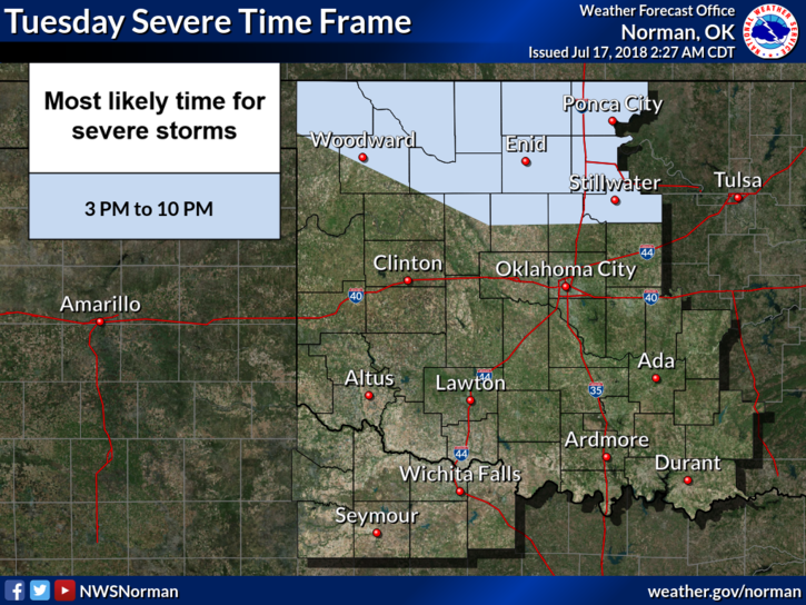
3- This morning, there may be some sporadic thunderstorm activity similar to last night so just keep this in mind.
4- Here is your forecast from the NWS/NORMAN;
Tuesday-Mostly cloudy with highs in the low 90’s. Heat index values around 100. East southeast winds 5 to 10 mph. 30% chance for thunderstorms during the day.
Tuesday Night-30 percent chance of showers and thunderstorms mainly before 1am. Mostly cloudy with a low around 75. East southeast winds around 10 mph.
HAVE A SUPER DAY!!
MIKE