0345L-TUESDAY OUTLOOK AND INFO FROM GARFIELD COUNTY EMERGENCY MGMT-7/9/19
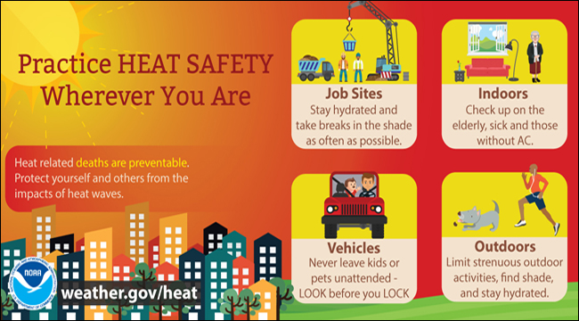
1- “HEAT ADVISORY” IN EFFECT FROM 1 PM UNTIL 8 PM Today.
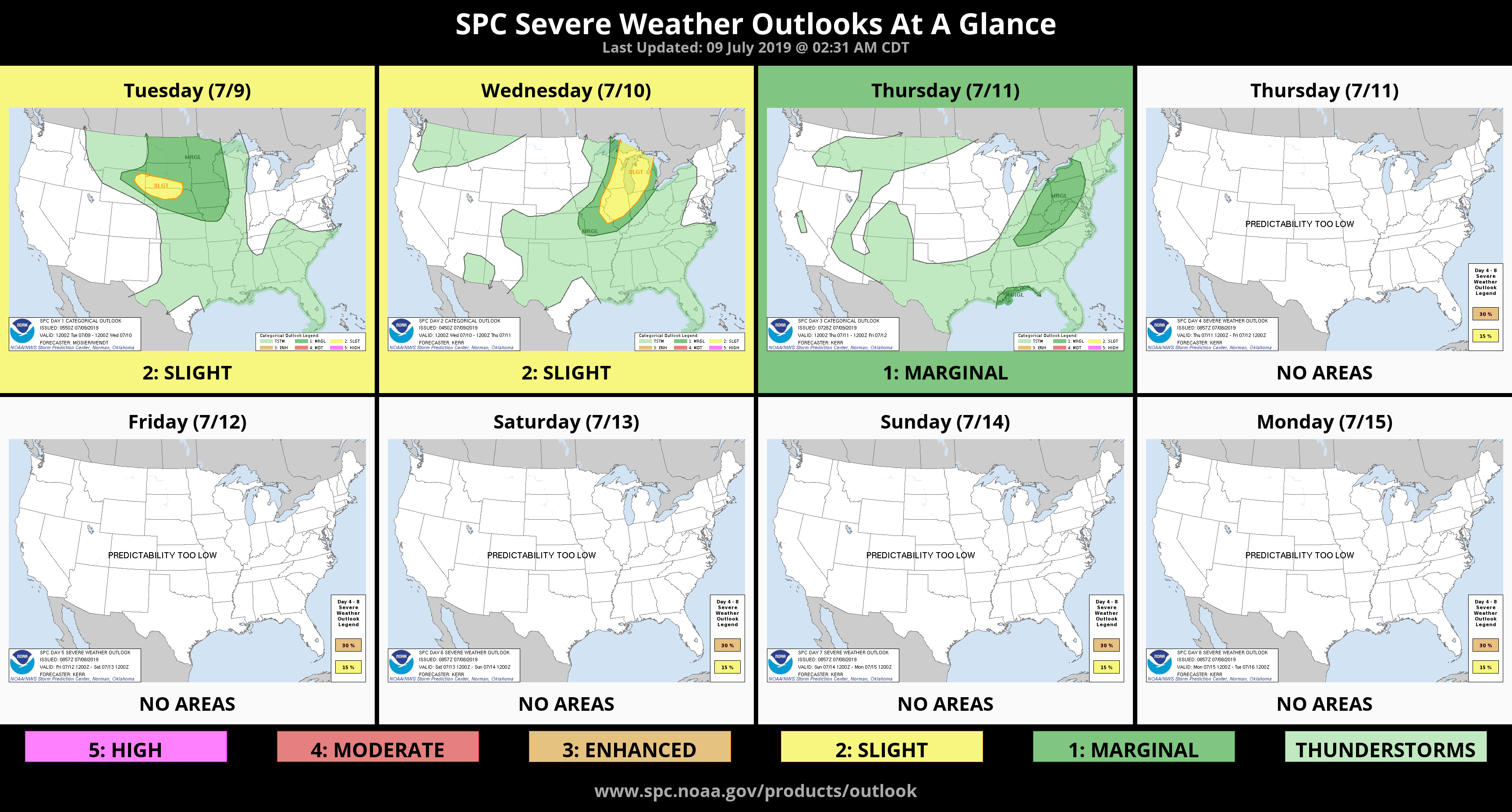
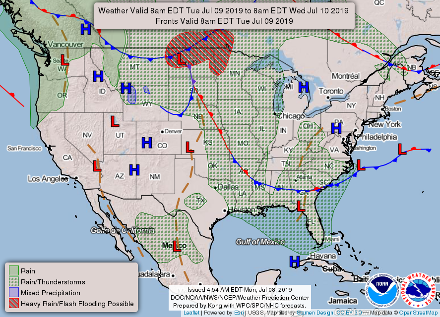
2- “GENERAL THUNDERSTORM RISK” once again. Heavy rainfall & localized flooding along with gusty winds and hail will be possible if storms occur.
3- Foliage is dry even though it’s fairly green. Shooting fireworks from a county road is “illegal”. Those that start fires and drive off will eventually be caught. They need to realize that starting a fire in the wrong area can cost folks their homes and/or livelihood. Any suspicious activity needs to be called in to law enforcement.
4- Here is your forecast from the NWS/NORMAN;
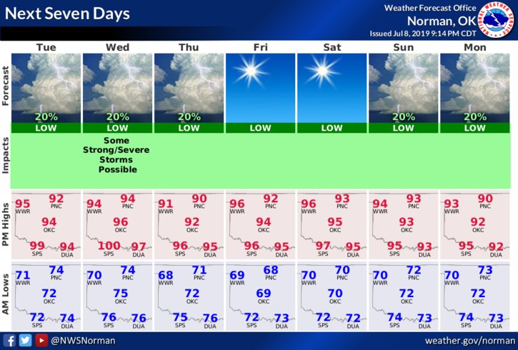
Tuesday- 20 percent chance of showers and thunderstorms before 10am. Mostly sunny with a high near 96. Heat index values as high as 104. South wind 10 to 15 mph.
Tuesday Night- Mostly clear with a low around 72. South wind 5 to 10 mph.
HAVE A GOOD DAY!!
MIKE