FROM GARFIELD COUNTY EMERGENCY MANAGEMENT-TUESDAY JUNE 13, 2017
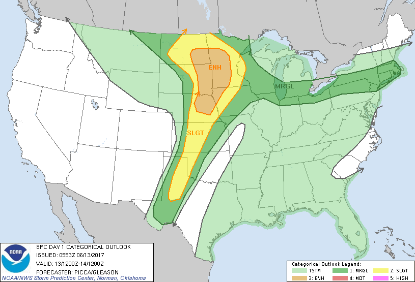
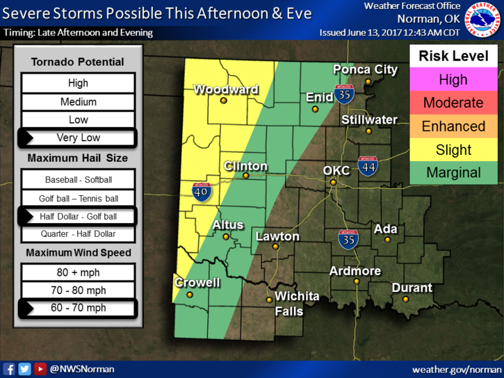
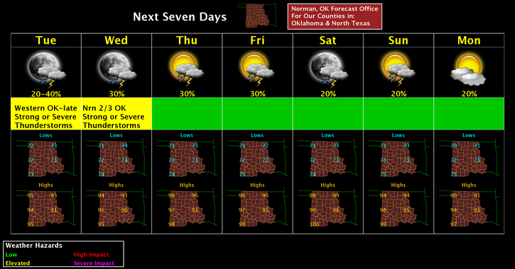
GOOD MORNING!! It appears we are in a MARGINAL RISK area for storms later today and we are NEAR a Slight Risk area to our west. For those that are scared of storms and watch the drama teams on TV, DON’T PANIC, we’ll be ok. ”If” we have storms in our area, our main threats would be hail and winds and they would most likely be later in the evening or overnight timeframe. They may not make it into the area at all. Many factors involved here.
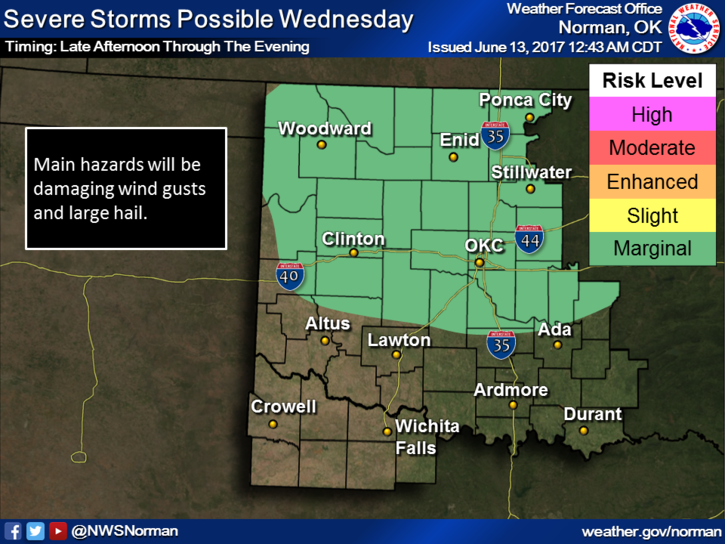
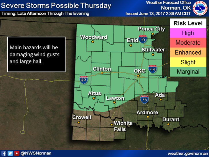
That said, over the next few days we’ll have a chance for storms. It’s just the pattern we are in. They won’t happen everywhere all the time so keep an eye to the sky and don’t change any plans. Just make sure things around the house are secured just in case and we’ll advise accordingly.
Download our GARFIELD COUNTY EM app so you’ll know what’s going on locally.
Here is your forecast from the NWS/NORMAN;
Tuesday: Sunny with a high near 93 with heat index values as high as 97. South winds 15 to 25 mph, with gusts around 30 mph.
Tuesday Night-20 percent chance of showers and thunderstorms before 1am. Overnight low around 74 with South winds 10 to 20 mph with gusts as high as 30 mph.
HAVE A GREAT DAY!!
MIKE