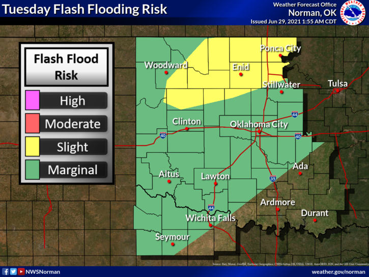
0400L-TUESDAY OUTLOOK FROM GARFIELD COUNTY EMERGENCY MANAGEMENT-6/29/21
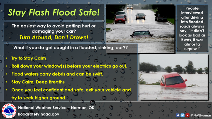
1- We are under an AREAL FLOOD WATCH today until 9pm tonight. Additional rainfall, sometimes heavy, is expected here in northern Oklahoma. We are the focal point today so if you are out driving, slow down and keep a sharp eye out for water over the road. Several accidents occurred yesterday due to driving into water and the cars hydroplaned. You loose total control when this happens and bad things occur. Just slow down.
2- As stated in number 1, we are the focal point as the weak front that has stalled across our state will back up somewhere in our area and the focus for training storms will be all around our area. We will receive more rain and the ground is saturated. As the southeast part of our county experienced yesterday, storms will occur, they will be heavy, and they won’t be moving very fast. Use extreme caution while driving.
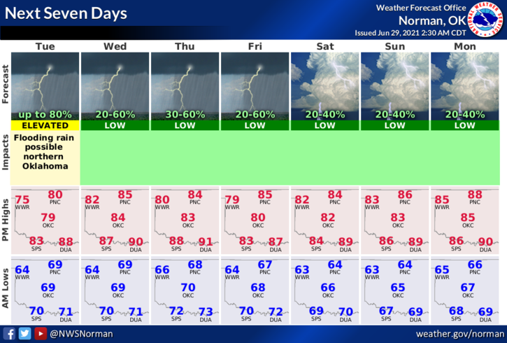
3-Here is your forecast from the NWS/NORMAN;
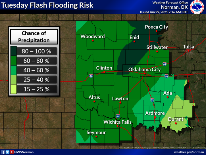
Today-Showers and thunderstorms. High near 79. East wind 6 to 8 mph. Chance of precipitation is 80%. New rainfall amounts between 1 and 2 inches possible.
Tonight-50 percent chance of showers and thunderstorms. Cloudy, with a low around 67. East southeast wind 5 to 7 mph. New rainfall amounts between a quarter and half of an inch possible.
Additional information on weather and preparedness can be found at www.gcem.org and on our GARFIELD COUNTY EM app.
STAY DRY AND SAFE!
MIKE