0415L-TUESDAY UPDATE FROM ENID/GARFIELD COUNTY EMERGENCY MANAGEMENT-6/5/18
1- Another mild day on tap. We are in a GENERAL RISK AREA for thunderstorms during the day. This only means that storms could form anywhere and cause gusty winds and heavy rainfall. Will it happen?? Probably not. Just be aware that it could.
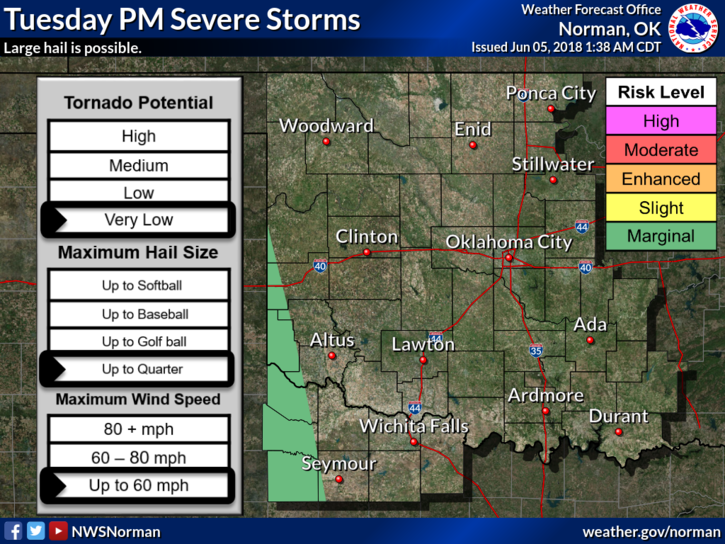
2- There is a MARGINAL RISK for thunderstorms in the SW part of the state. If you plan on traveling, check the forecast before you go so you don’t get surprised by driving into severe weather somewhere. This actually happens to a lot of folks. Make CHECKING THE FORECAST a part of your travel plans. It only takes a few minutes but can save you a lot of anxiety.
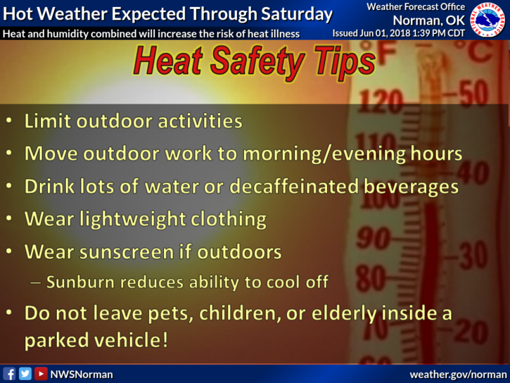
3- We’ll be getting warmer as the week progresses so be prepared for hotter weather. Continue to pace yourselves outdoors especially if you are not used to working out there.
4- Be sure to download our app, GARFIELD COUNTY EM. Make this app a part of your PREPAREDNESS PLAN. Like I have stated in the past, if you don’t have this app, you’re not prepared!
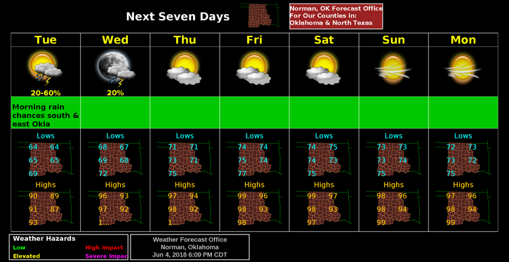
5- Here is your forecast from the NWS/NORMAN;
Tuesday-Mostly sunny, with a high near 89. South southeast wind around 10 mph.
Tuesday Night-Mostly clear, with a low around 68. Southeast wind 5 to 10 mph.
HAVE A GREAT DAY!!
MIKE