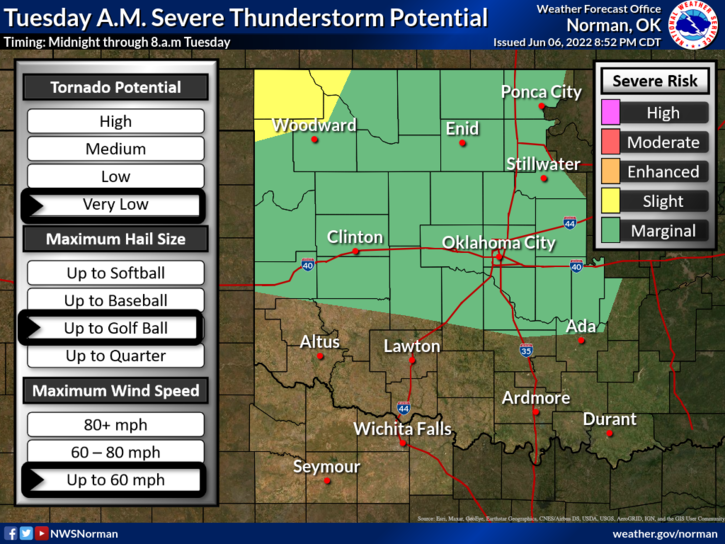
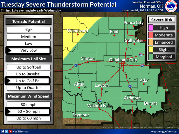
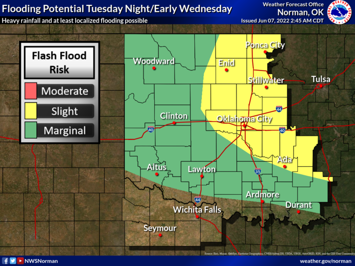
0310L-TUESDAY OUTLOOK FROM GARFIELD COUNTY EMERGENCY MANAGEMENT-6/7/22
1-We are and will remain in a MARGINAL RISK for severe weather for the next several days. If severe weather occurs, heavy rainfall, intense lightning, hail, and possibly damaging winds will be the main threats. Other than this, warm and muggy conditions will exist.
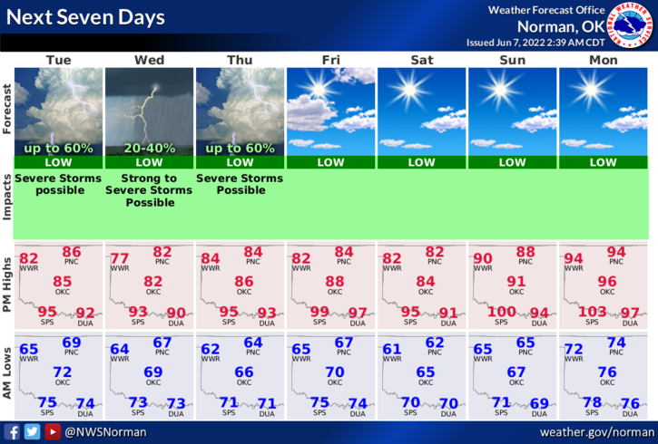
2- Here is your forecast from the NWS/NORMAN;
Today-Mostly cloudy with a chance of showers and thunderstorms this morning. Highs in the mid-80s. East winds 10 to 15 mph. Chance of rain 50 percent.
Tonight-Slight chance of showers and thunderstorms in the evening and very likely after midnight. Humid with lows in the upper 60s. Southeast winds 5 to 10 mph. Chance of rain 60 percent.
3-Take an umbrella with you as you just might need it this morning. After the rain passes through the area this morning, it will get very humid outside so be prepared for that. Overall, we’ll be ok so enjoy! READ THE GRAPHICS ATTACHED CAREFULLY.
HAVE A GOOD DAY!