0400L-WEDNESDAY OUTLOOK FROM GARFIELD COUNTY EMERGENCY MANAGEMENT-6/8/22
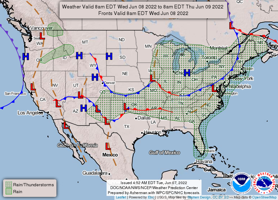
1- We still expect thunderstorms as a cold front pushes through the area this morning. With convection all over the region, we’ll just have to see how this pans out. Heavy weather happening in the Panhandle as the front pushes south. The front just might push the precip southwest of us so we’ll see what happens. There is a Severe Thunderstorm Watch in effect for counties to our west and southwest until 7am this morning.
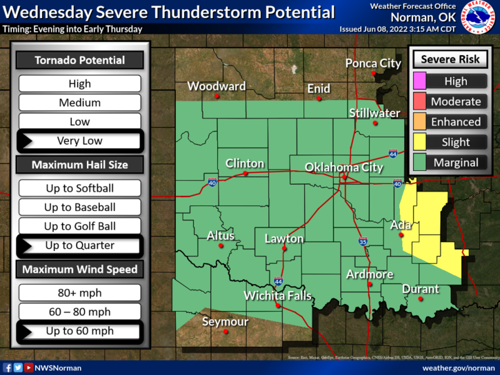
2- Our risk for severe weather is MARGINAL today and this may change again as forecasts verify. Here is your forecast from the NWS/NORMAN;
Today-Mostly cloudy with a chance of showers and thunderstorms this morning, then mostly sunny with a slight chance of showers and thunderstorms this afternoon. Some thunderstorms may produce heavy rainfall this morning. Highs in the lower 80s. North winds 10 to 15 mph. Chance of rain 40 percent.
Tonight-Partly cloudy. Lows in the lower 60s. Northeast winds 5 to 10 mph.
HAVE A GOOD DAY!