0310L-TUESDAY OUTLOOK FROM GARFIELD COUNTY EMERGENCY MANAGEMENT-6/8/21
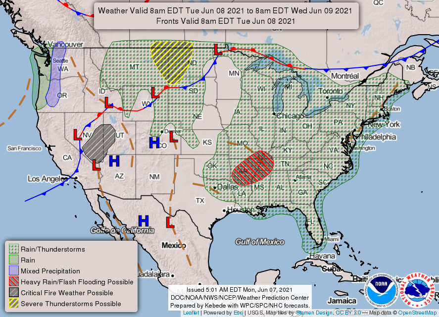
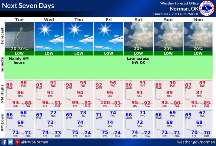
1- We are once again in a GENERAL THUNDERSTORM RISK area. Our chances are very low. We’ll see what happens for sure as the day progresses. It will be humid outdoors for the next several days so pace yourselves while working and stay hydrated. High temps will be in the upper 80s to low 90s and winds will be southeasterly around 10 mph.
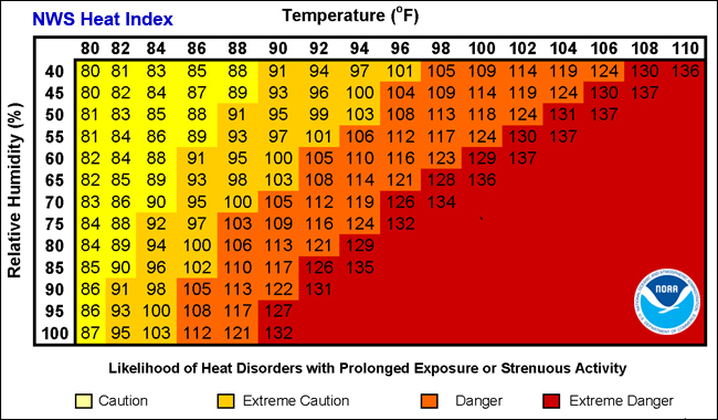
2- As stated, temps will be increasing and along with the humidity, the heat index will rise too. We could see heat indexes reach the 100 degree mark this week so as I stated before, pace yourselves outdoors and stay hydrated. Another thing we are actually having to do is remind folks to make sure you don’t leave your kids in the car when its hot. This link gives you some very good tips concerning the heat that applies to everyone. Check this out when possible. https://www.weather.gov/safety/heat
3- Here is your forecast from the NWS/NORMAN;
Today-Partly cloudy. Highs in the upper 80s. Southeast winds around 10 mph.
Tonight-Partly cloudy. Lows in the lower 70s. Southeast winds around 10 mph.
Finally- I am attaching a few graphics that may help some folks understand what heat can do to you if you don’t take the proper precautions. Take the time to look and read these and apply what you learn.
HAVE A GOOD DAY!!
MIKE