0430L-TUESDAY UPDATE AND OUTLOOK FROM ENID GARFIELD COUNTY EMERGENCY MANAGEMENT-5/15/18
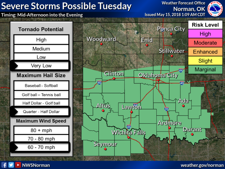
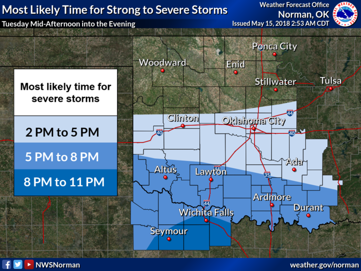
1-We are in a GENERAL RISK for some thunderstorms today. The higher risks are south of us so if you plan on traveling anywhere south of I-40 stay aware this afternoon. Just because we are in a lower risk, doesn’t mean we won’t see some storms. Hopefully we do.
2-Last night we had lightning around the area. I wasn’t really thinking about ballgames but a few folks including a niece contacted me a little concerned. Lightning can strike outwards of 10 miles from storms. We have speaker sirens around most of the ballparks. EXPECT ANNOUNCEMENTS AND INSTRUCTIONS IN THE FUTURE as long as games are being played with thunderstorms in the area. I will test the speaker sirens over the next few days.
3-Main threats if we see any storm activity here in our area today or tonight will be wind and hail. Our atmosphere seems like it’s mid-summer. It will support severe weather but downdraft winds are the biggest threat. We’ll watch and advise.
4-Here is your forecast from the NWS/NORMAN;
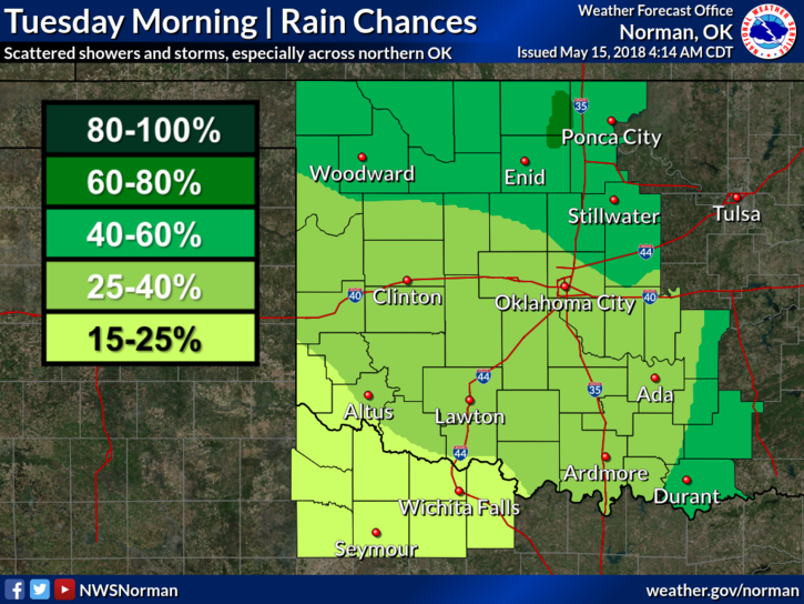
Tuesday-30 percent chance of showers and thunderstorms mainly after 1pm. Partly sunny with a high near 84. North wind 5 to 10 mph becoming east in the afternoon.
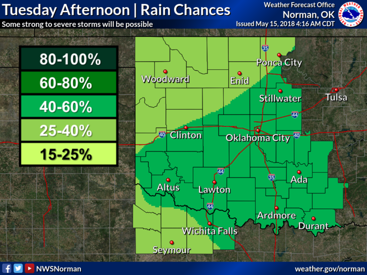
Tuesday Night-50 percent chance of showers and thunderstorms. Mostly cloudy with a low around 64. East northeast wind around 10 mph. New rainfall amounts between a tenth and quarter of an inch, except higher amounts possible in thunderstorms.
FINALLY- download our GARFIELD COUNTY EM app. You are NOT prepared if you don’t have it.
HAVE A SUPER DAY!!
MIKE