0320L-WEDNESDAY OUTLOOK & INFO FROM GARFIELD COUNTY EMERGENCY MGMT-2/12/2020
1-WINTER WEATHER ADVISORY IN EFFECT UNTIL NOON TODAY. Keep in mind that this could be cancelled at any time. Rain/snow mix is possible with accumulations up to an inch or so.
2- MAIN ISSUES will be some slick spots out there ESPECIALLY ON BRIDGES AND OVERPASSES. Just slow down and drive with caution. We are in an area where snowfall around an inch is possible. There are many factors involved for this to happen so IF IT DOES occur, as already stated, slow down and be careful.
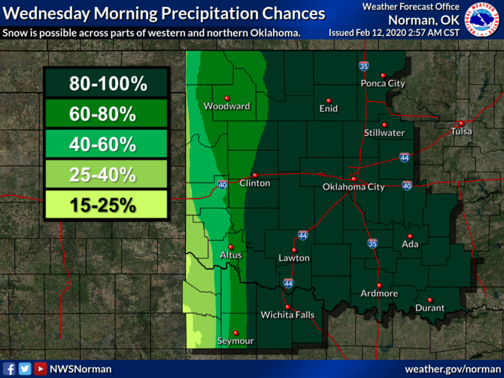
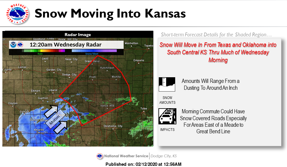
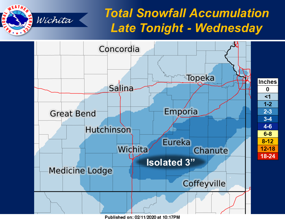
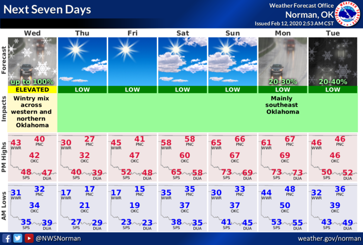
3- I have added a few graphics from the Dodge City and Wichita NWS offices. Here is your forecast from the NWS/NORMAN;
Today-Rain and snow early in the morning, then rain and snow likely in the late morning and early afternoon. Highs in the lower 40s. Light and variable winds.
Tonight-Partly cloudy. A slight chance of rain and snow in the evening. Colder. Lows around 18. North winds 10 to 20 mph. Chance of precipitation 20 percent.
HAVE A GOOD DAY!
MIKE