0400L-WEDNESDAY OUTLOOK/ INFO FROM GARFIELD COUNTY EMERGENCY MANAGEMENT-2/6/19
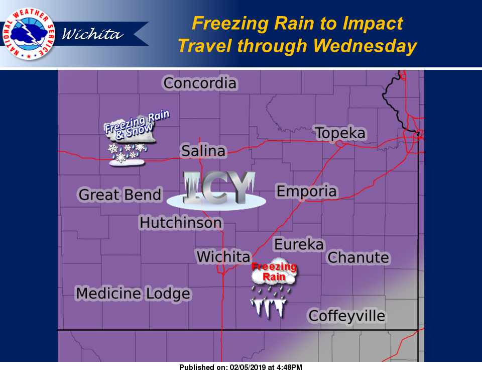
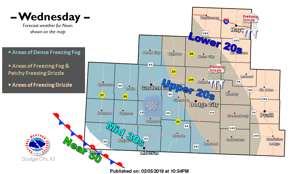
WINTER WEATHER ADVISORY EXTENDED UNTIL NOON TODAY- FREEZING DRIZZLE/FOG ARE POSSIBLE THIS MORNING. EXTREME CAUTION IS ADVISED WHILE DRIVING.
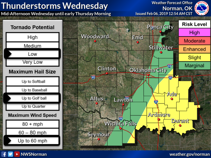
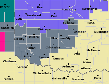
1) A mix of weather today is expected so if you plan to travel south/southeast, rain is expected, possibly severe weather later today. North/into Kansas-freezing precip is expected. West- Possibly freezing but drier air will be moving in. East- rain and possibly some severe weather.
2) Everything is dependent on where the boundaries end up so just stay weather-aware wherever you go. Drive carefully.
3) Overall, we’ll be ok so here is your forecast from the NWS/NORMAN;
Wednesday-A chance of freezing rain before 9am, then a chance of freezing drizzle between 9am and noon, then a slight chance of rain or freezing rain after noon. Areas of freezing fog before 9am. Cloudy, with a high near 34. East northeast wind 9 to 13 mph. Chance of precipitation is 30%.
Wednesday Night-A slight chance of rain or freezing rain before midnight. Mostly cloudy, with a low around 20. East northeast wind 8 to 13 mph becoming north northwest 15 to 20 mph after midnight. Winds could gust as high as 28 mph. Chance of precipitation is 20%.
STAY SAFE!!
MIKE