0408L-WEDNESDAY OUTLOOK & INFO FROM GARFIELD COUNTY EMERGENCY MGMT-7/29/2020
GARFIELD COUNTY EM is our emergency notification app. If you don’t have this app, YOU’RE not prepared.
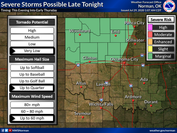
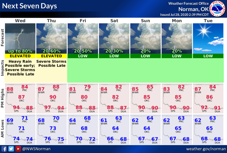
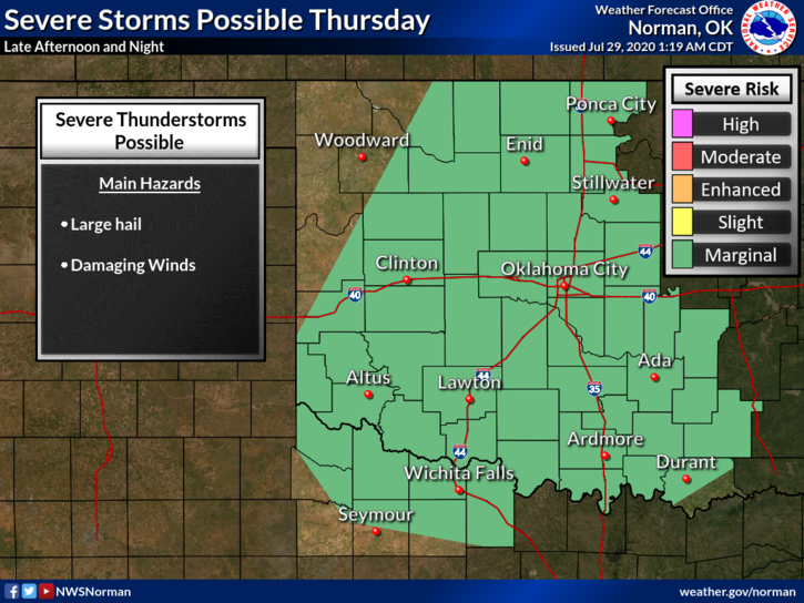
1- MARGINAL RISK for severe weather later today into the overnight hours. If storms do occur, quarter size hail and winds to roughly 60 mph are possible. We’ll be in a Marginal Risk again on Thursday too. Heavy rainfall along with some localized flooding may occur since most areas are saturated from previous rainfall.
2- Many folks have been calling concerning road closures around the state. On our gcem.org website on the front page I have a list of Department of Transportation websites for Oklahoma & all the states that surround us. These will be handy for those that want to travel this winter when they shouldn’t be traveling. There is really great info on these sites.
3-Here is your forecast from the NWS/NORMAN;
Today- Mostly cloudy with a 60% chance for thunderstorms. Highs in the upper 80s with south winds around 10 mph.
Tonight- Partly cloudy. 60% chance of thunderstorms in the evening and overnight. Lows in the upper 60s with south winds around 10 mph shifting to the east after midnight.
HAVE A GREAT DAY!!
MIKE