0355L-THURSDAY OUTLOOK FROM GARFIELD COUNTY EMERGENCY MGMT-7/30/2020
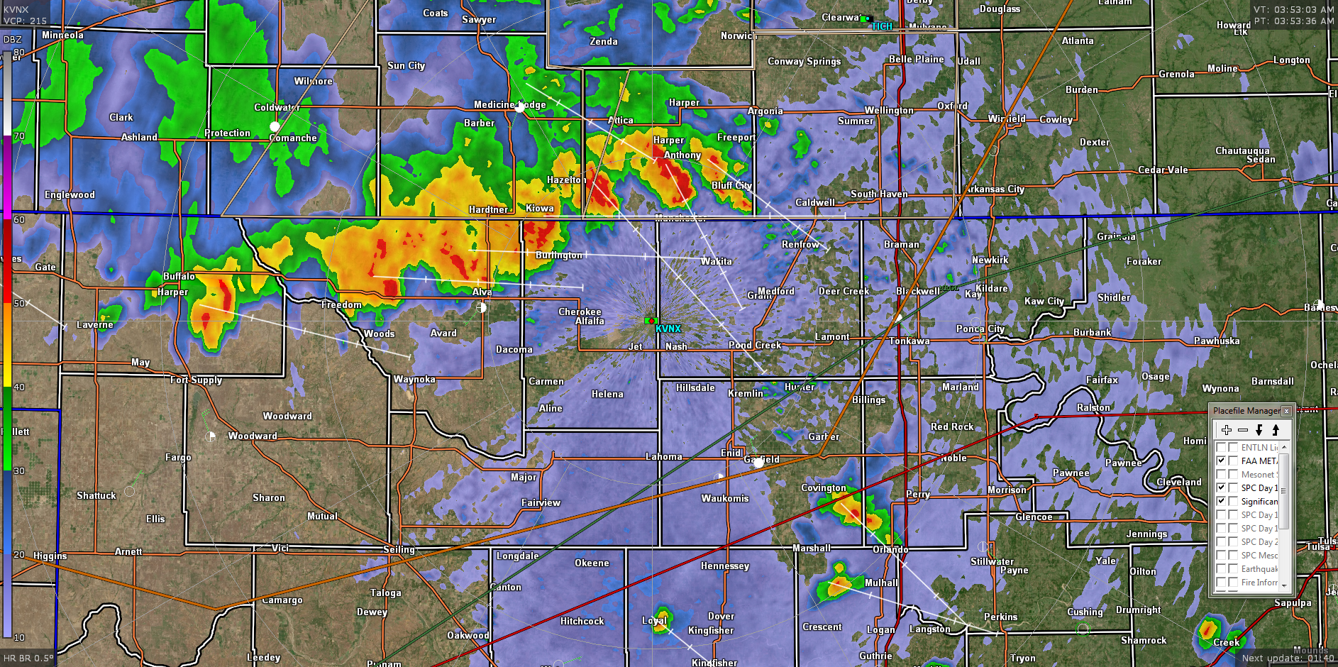
VANCE RADAR IS BACK UP!!
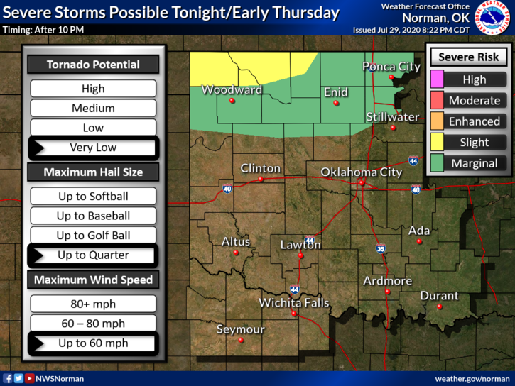
1- MARGINAL RISK FOR SEVERE WEATHER EARLY THIS MORNING THEN AGAIN LATER TONIGHT AND OVERNIGHT.
2- As of 0340L there is a line of thunderstorms heading our way. Around 1130 last night we received about ¾ of an inch in rainfall. We may see about that much again in a little while. These storms are capable of winds to 60 mph, hail, very intense lightning, and are moving ESE from 50-65 mph. We’ll see what happens.
3- Overall, after this line moves away, we will see some sunshine again and it will be very muggy outside. We’ll deal with it. Here is your forecast from the NWS/NORMAN;
Today-Decreasing clouds. A chance of thunderstorms through the day. A chance of showers late in the morning. Locally heavy rainfall possible late in the morning. Highs in the upper 80s. North winds around 10 mph. Chance of precipitation 50 percent.
Tonight-Mostly cloudy. Thunderstorms likely in the evening, then showers and thunderstorms likely after midnight. Locally heavy rainfall possible after midnight. Lows in the mid 60s. North winds around 10 mph. Chance of precipitation 70 percent.
HAVE A GOOD DAY and I am attaching the radar pic from 0353L.
MIKE