0400L-WEDNESDAY OUTLOOK AND INFO FROM GARFIELD COUNTY EMERGENCY MANAGEMENT-7/3/19
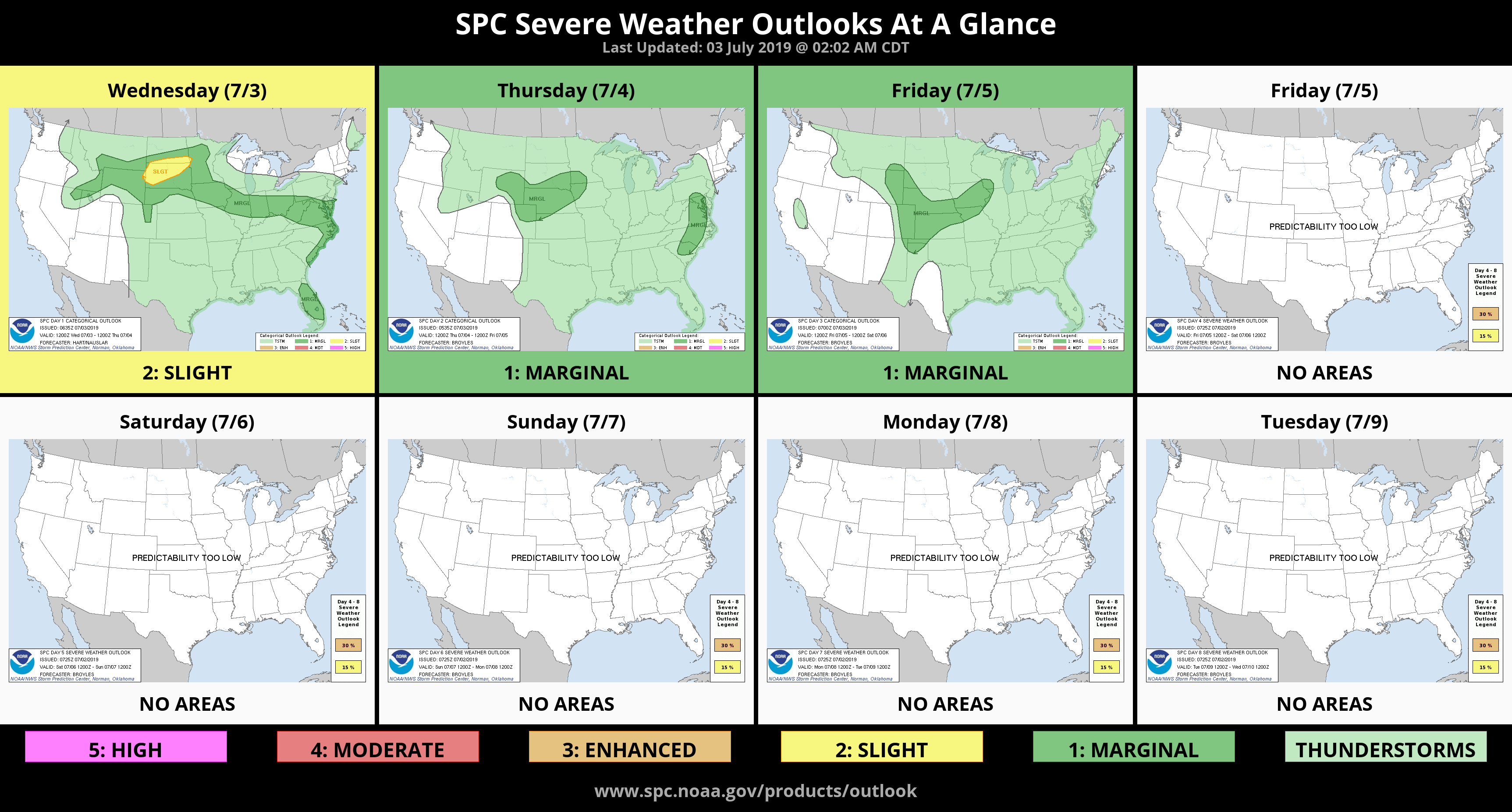
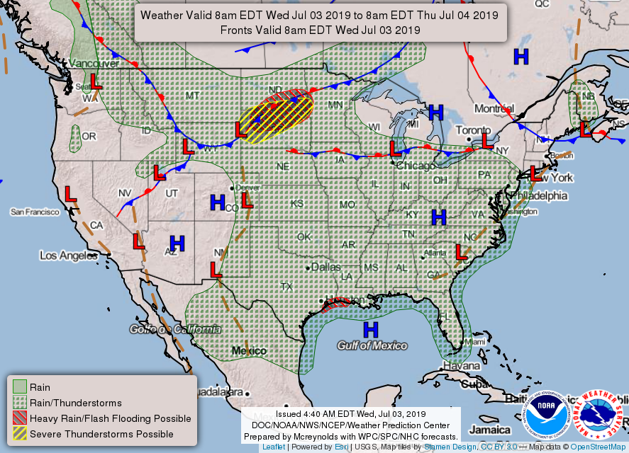
1- We are in a GENERAL RISK area for thunderstorms today and will remain this way through at least Friday. Storms may occur just about anywhere in the area so just stay weather aware. If storms do occur, expect heavy rainfall, intense lightning, possibly some hail, and gusty winds. A few storms could become severe due to winds. They would be similar to yesterday’s storms and they won’t move very fast thus a possible flood risk in those areas.
2- Overall, nothing to freak-out over right now. Stay weather aware and make sure you have our GARFIELD COUNTY EM APP. You’re not prepared without it.
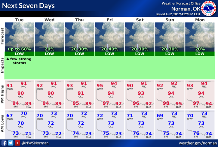
3- Here is your forecast from the NWS/NORMAN;
Today- Partly cloudy with a chance of thunderstorms late in the afternoon. Highs in the mid-90s with South winds 10 to 15 mph gusting to 20. Chance of thunderstorms 50 percent.
Tonight- Partly cloudy with lows in the lower 70s. South winds 10 to 15 mph gusting to 20mph.
HAVE A GOOD DAY!!
MIKE