0400L-WEDNESDAY OUTLOOK FROM GARFIELD COUNTY EMERGENCY MANAGEMENT-11/6/19
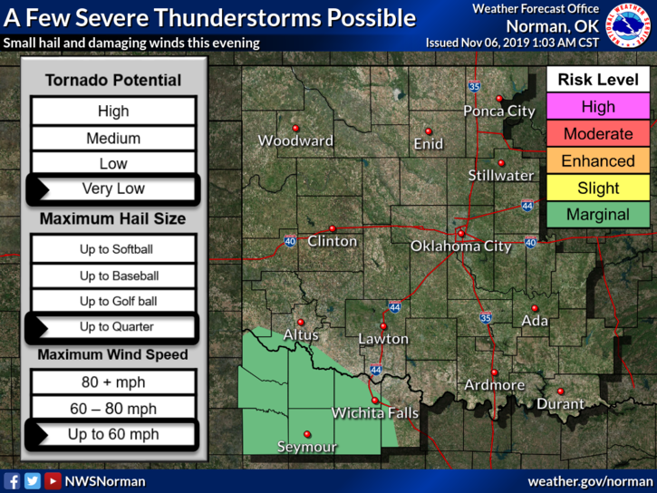
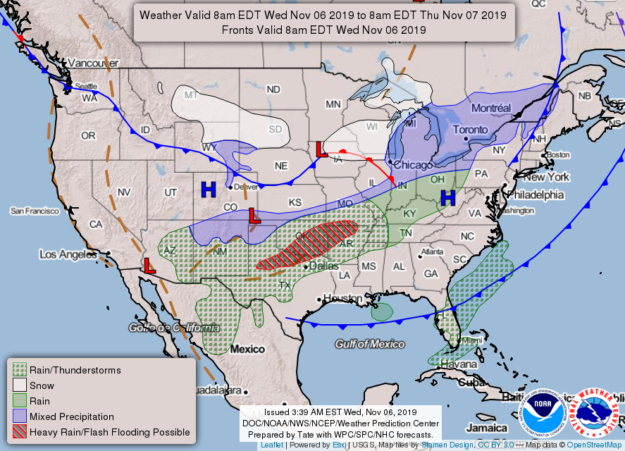
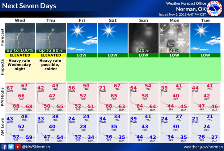
1- GENERAL RISK for thunderstorms later today. NO SEVERE WEATHER EXPECTED. We have a storm system out west that will push through the area later today and a cold front with very cold air coming in from the north sometime this evening. Timing is a key issue along with strong winds after frontal passage. There is a slight possibility of light winter precip early Thursday morning with little to no impact expected. We’ll watch and advise.
2-Remember that advisories and warnings from the NWS come through our GARFIELD COUNTY EM app automatically so you can stay up to date with what’s happening.
3- OVERALL, it’s going to be colder with some precipitation going on so as temps fall, just stay weather aware and drive according to conditions. Watch out for those expert drivers!!
4- Here is your countywide forecast from the NWS/NORMAN;
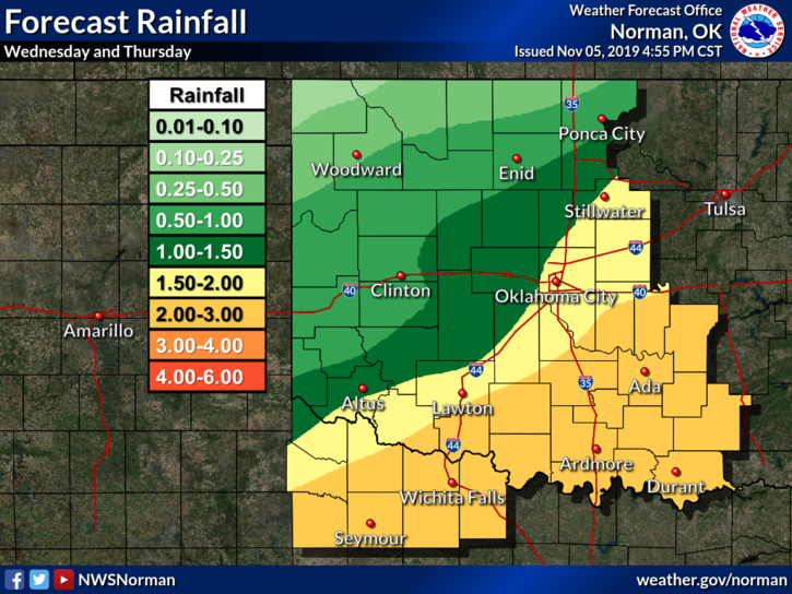
Wednesday-Mostly cloudy. Patchy fog in the morning. A chance of thunderstorms and patchy drizzle in the morning, then a chance of thunderstorms in the afternoon. Highs in the upper 60s. South winds up to 10 mph. Chance of thunderstorms 50 percent.
Wednesday Night-Rain showers and a chance of thunderstorms. Colder. Lows in the mid-30s. East winds 10 to 15 mph shifting to the north 15 to 25 mph after midnight.
Have a good day and we’ll advise if needed.
Mike