0335L-WEDNESDAY OUTLOOK FROM GARFIELD COUNTY EMERGENCY MANAGEMENT-9/29/21
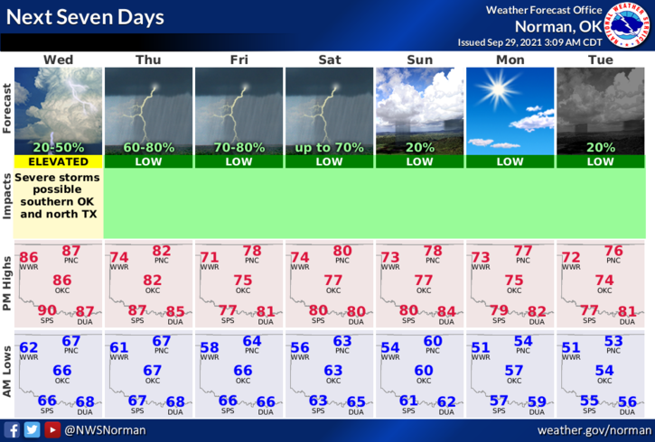
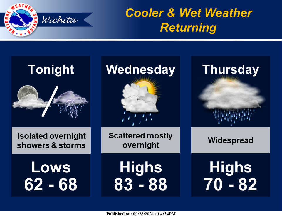
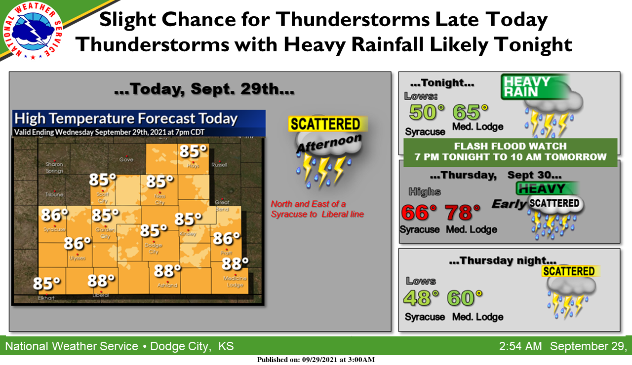
1-Very SLIGHT chance for a shower this morning then chances increase this afternoon. Severe weather here looks unlikely BUT as always, it could happen IF it rains. We’ll see how that works out. I am counting on the second system coming through on Thursday bringing us a good chance for thunderstorms. We definitely need the water. Overall, any precip would be welcome at this point. The NWS has forecast approximately 1-2 inches for our area through Sunday. Again, we’ll see what happens for sure.
2- The Fire Danger will lessen some as the humidity increases but won’t be totally out of the picture. Continue to be careful out there utilizing anything related to fire.
3- One thing to keep in mind is IF WE SEE HEAVY RAINFALL, flash flooding could occur as the ground is extremely dry and runoff might be excessive especially in low lying areas. Here is your forecast from the NWS/NORMAN;
Today-Partly cloudy. A slight chance of thunderstorms early in the morning. A slight chance of thunderstorms late in the afternoon. Highs around 90. Southeast winds 10 to 15 mph with higher gusts. Chance of thunderstorms 20 percent.
Tonight-Partly cloudy. A slight chance of thunderstorms in the evening, then a chance of thunderstorms after midnight. Lows in the mid-60s. Southeast winds 10 to 15 mph with higher gusts. Chance of thunderstorms 40 percent.
STAY SAFE
MIKE