0230L-FRIDAY OUTLOOK FROM GARFIELD COUNTY EMERGENCY MANAGEMENT-6/02/23
* Please post your rain totals in the comments section or on the “GARFIELD COUNTY EM” app, post totals on the ASK THE DIRECTOR or DAMAGE REPORT icons. If you don’t have our app, get it today!
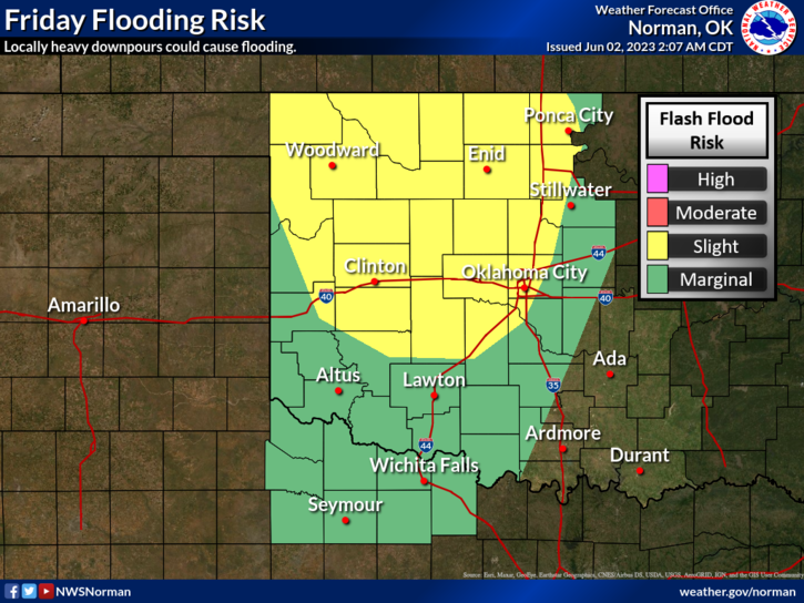
*You sick of the rain yet? Yep, me too but we are actually still under severe drought conditions. After years of drought, we haven’t recovered as quickly as we think, even though we have received several inches of rainfall. A lot of that rainfall has run off thus we haven’t gained the total benefit of the rain. We’ll get there.
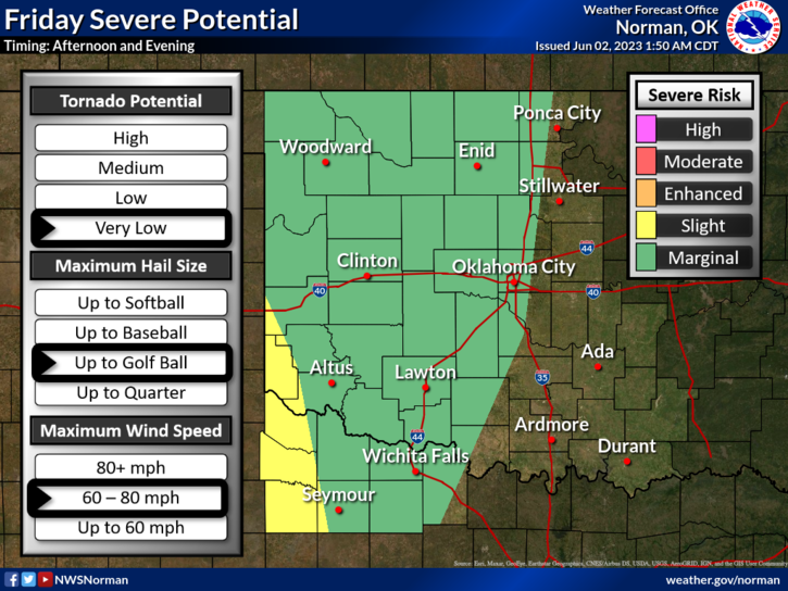
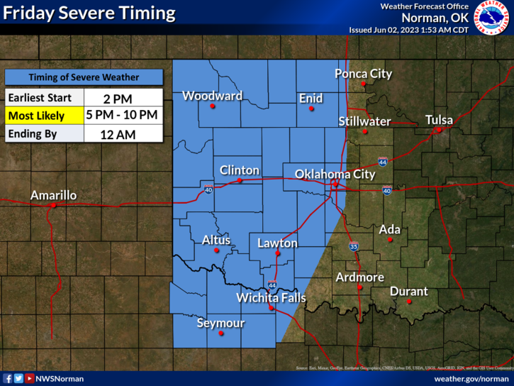
* We are in a MARGINAL RISK for severe weather this afternoon and tonight as atmospheric conditions change. A dryline and mid-level jet come into play so we’ll see where everything comes together, forms, and tracks. The area between I-40 and I-20 in the Texas Panhandle is in an ENHANCED risk for severe with all hazards possible so if you plan on traveling that way, stay weather aware. Do so here too.
* Overall, we’ll be ok, but we’ll also remain soggy. Be prepared for additional rainfall with a few intense storms later today and tonight. Here is your forecast from the NWS/NORMAN;
Today- Mostly sunny. A slight chance of showers and thunderstorms in the morning, then a chance of showers and thunderstorms in the afternoon. Highs in the mid-80s. Southeast winds 10 to 15 mph. Chance of rain 50 percent.
Tonight- Mostly cloudy with a chance of thunderstorms. A chance of showers in the evening, then showers likely after midnight. Lows in the lower 60s. Southeast winds 10 to 15 mph, becoming north 5 to 10 mph after midnight. Chance of rain 70 percent.
HAVE A GOOD DAY!