0340L-FRIDAY OUTLOOK FROM GARFIELD COUNTY EMERGENCY MANAGEMENT-4/23/21
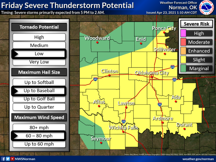
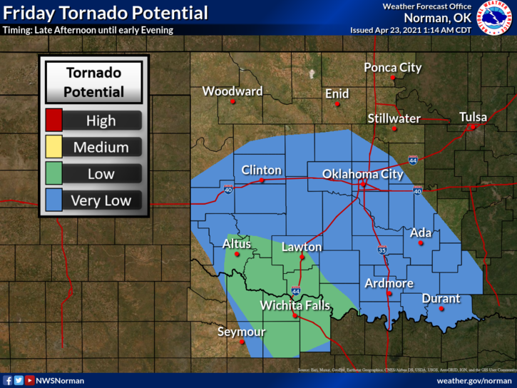
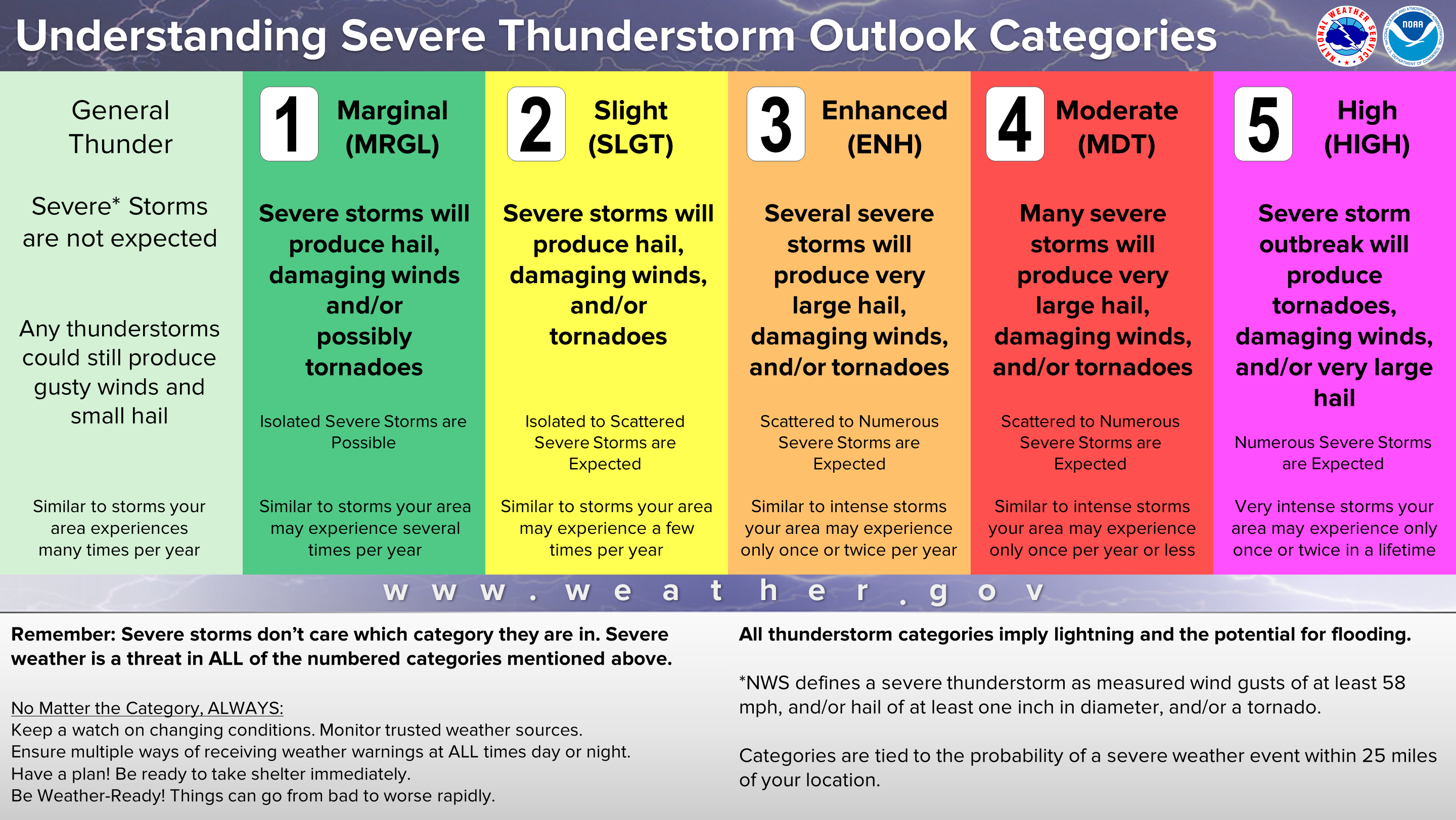
1-We are in a SLIGHT RISK for severe weather later today and tonight. Keep in mind that we can’t control the weather but we can be prepared for it. Per NWS guidance, the TORNADO threat appears to be highest to our south and southwest. The first graphic gives you a good picture of what could be expected. REMEMBER, the lines depicted on these graphs are fluid. This means that they are an estimated located and they will move some during the day.
2-Be sure and download our GARFIELD COUNTY EM app. You’ll get NWS advisories and warnings automatically through this app along with information from us. If you plan on traveling, pay close attention to the forecast and your specific weather situation wherever you are going. Don’t get caught unprepared.
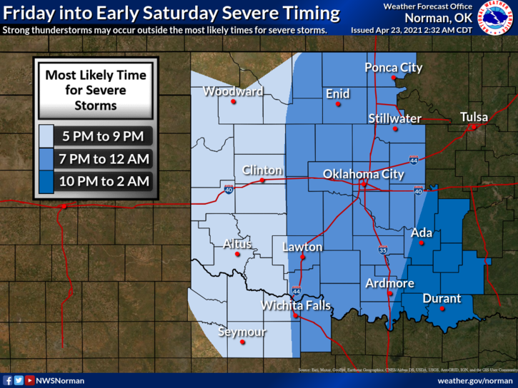
3-A front will push in later this evening shifting all of the rain to our east and eventually out of the state by early Saturday. For GARFIELD COUNTY– storms that come through our area may be more linear meaning storms may have already formed into a squall line. If this occurs, we can expect damaging winds and a hail threat. We’ll see how this mess forms up and I will update through the app as needed.
4- Here is your forecast from the NWS/NORMAN;
Today-Cloudy. A slight chance of rain showers and patchy drizzle in the morning, then a chance of thunderstorms all afternoon. Some thunderstorms may be severe late in the afternoon. Highs in the mid-60s. Southeast winds 10 to 15 mph. Chance of precipitation 70 percent.
Tonight-Thunderstorms in the evening, then a chance of thunderstorms after midnight. Some thunderstorms may be severe in the evening. Lows in the upper 40s. North winds 10 to 15 mph.
HAVE A GOOD DAY!
MIKE