0325L-FRIDAY OUTLOOK & INFO FROM GARFIELD COUNTY EMERGENCY MANAGEMENT-8/30/19
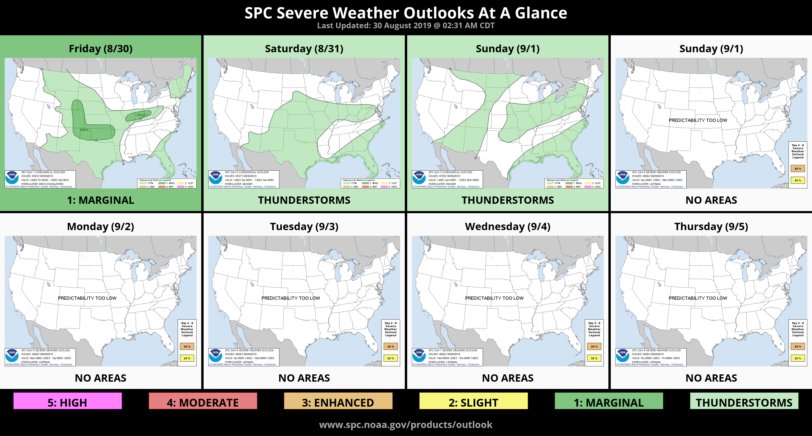
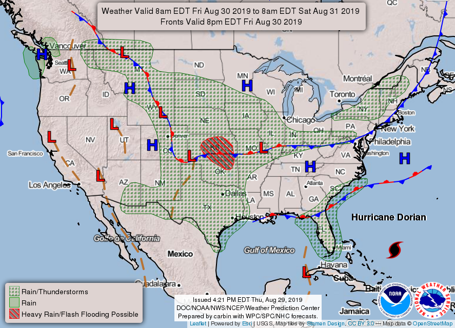
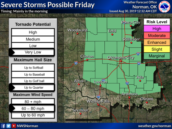
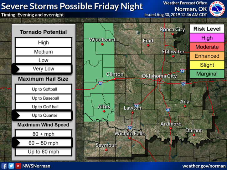
1- Thunderstorm’s will be on going for a while this morning and again tonight. We are in a MARGINAL RISK area for severe weather today and tonight and rain chances look pretty good through Sunday. The tornado threat is low but winds and hail will be our main concern along with the potential for localized flooding. We’ll see how this mess plays out.
2- As I always state to you all, forecasts change several times a day so if you plan on going somewhere this weekend, check your forecast at your starting point, the area in between, and finally your destination. Check this information from the nearest NWS office. You can find all of them on our website gcem.org under LINKS. These are also tied to our GARFIELD COUNTY EM app.
3- Overall, a little loud and wet this morning and it will be this way off and on all weekend. Hang in there. Here is your forecast from the NWS/NORMAN;
Friday-50 percent chance of showers and thunderstorms, mainly after 4pm. Mostly cloudy with a high near 91. Heat index values as high as 97. South southeast wind 10 to 15 mph. New rainfall amounts between a half and three quarters of an inch possible.
Friday Night-50 percent chance of showers and thunderstorms. Mostly cloudy with a low around 69. South wind 5 to 10 mph. New rainfall amounts between three quarters and one inch possible
HAVE A SUPER DAY!!
MIKE