0358L-THURSDAY OUTLOOK & INFO FROM GARFIELD COUNTY EMERGENCY MANAGEMENT-8/29/19
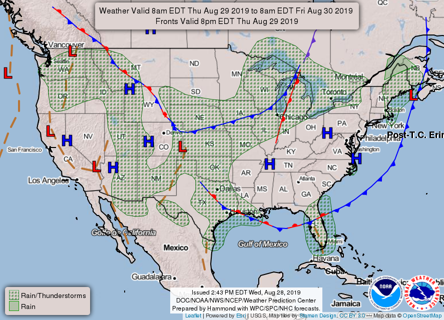
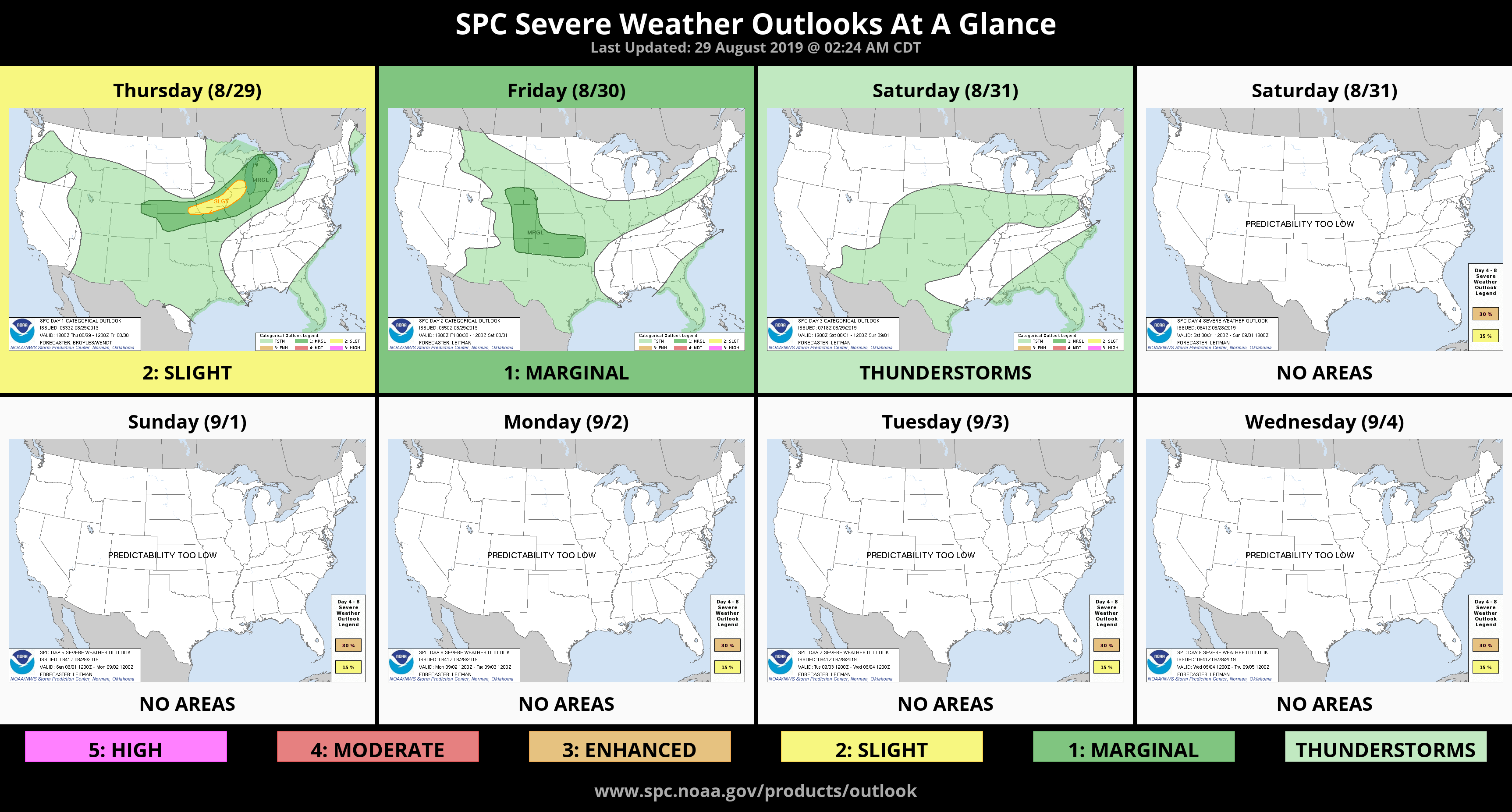
1- Thunderstorms will occur off and on today through Sunday. Per guidance, widespread severe storms are not expected but aren’t out of the question. Remember severe limits start with winds in excess of 58 mph and 1 inch hail. We’ll see what happens. There are many variables out there so it is a day to day thing right now. Just stay weather aware and you should be ok.
2-I have spoken about our GARFIELD COUNTY EM app virtually every day and many folks have it. Many other folks don’t. There are many features on this app that sets it aside from others. Download it and check it out. If you don’t like it, delete it! I really feel if you want to stay informed from the NWS and from GCEM, you’ll keep it. Keep in mind that it’s designed for GARFIELD COUNTY and a minimum of the surrounding counties. Check it out!!
3- Here is your forecast from the NWS/NORMAN;
Thursday-Partly cloudy with a 20% chance for isolated thunderstorms in the morning. Highs in the lower 90s. Heat index values near 99. South winds 10 to 15 mph.
Thursday Night- 70% chance for thunderstorms after midnight. Lows in the upper 60s with south winds around 10 mph.
HAVE A GOOD DAY!!
MIKE