0400L-FRIDAY UPDATE FROM ENID/GARFIELD COUNTY EMERGENCY MANAGEMENT-8/31/18
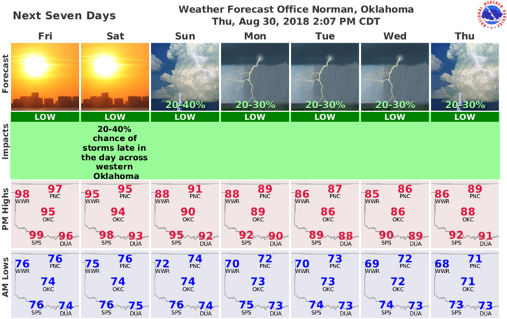
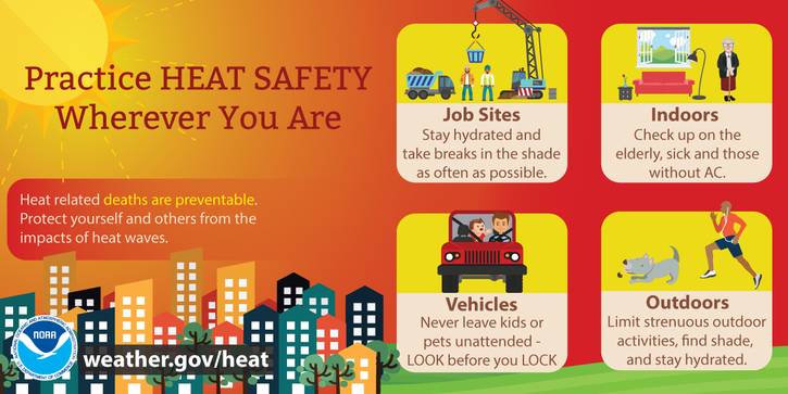
1-It’s Friday before a holiday and just wanted to throw a few statements out there. It’s going to be hot today and Saturday. The HEAT INDEX will be in the low 100’s. Pace yourself doing anything outside and keep a close eye on the kids and animals.
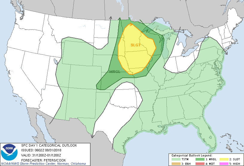
2-As things look right now, we could see rain chances on Sunday then the Pacific AND Gulf open up streaming moisture into the region. “Chances for rain” increase Sunday through at least Thursday so keep this in mind. Just keep an umbrella handy next week.
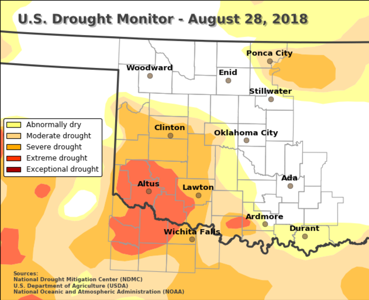
3-The drought is actually gone right now but even so, some areas are very dry. Continue to be careful when utilizing anything related to fire. Our fire probabilities for this winter are high, thanks to all of the rainfall this year. Continue to report ANY smoke or fire that you may see out there. Dispatch usually knows where controlled burning is taking place.
Here is your forecast from the NWS/NORMAN;
Friday-Sunny and hot with a high near 98. Heat index values as high as 104. South wind 10 to 20 mph with gusts as high as 25 mph.
Friday Night-Mostly clear with a low around 75. South wind 10 to 15 mph with gusts as high as 21 mph.
HAVE A SUPER DAY!!
MIKE