0355L-THURSDAY UPDATE FROM ENID/GARFIELD COUNTY EMERGENCY MANAGEMENT-8/30/18
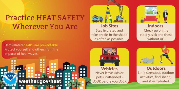
NOTE- It’s going to be hot and muggy for the next few days. The only thing in our favor are the winds. Some don’t like wind but when the humidity and heat index are going to be up there, wind is a good thing.
1- If you work outside on a normal basis, just pace yourselves. If you work outside occasionally, pace yourself and pay attention to how you feel. The heat index may be in the triple digits today.
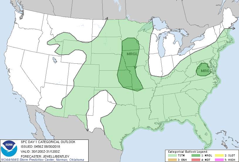
2-We are in a GENERAL RISK for thunderstorms. The atmosphere will be extremely unstable BUT capped. Basically, we can expect t-storms “possibly” later this evening but if conditions become right during the day, we may see some earlier. We’ll see what develops, if anything.
3- Be sure to get our app- GARFIELD COUNTY EM – YOU’RE NOT PREPARED WITHOUT IT.
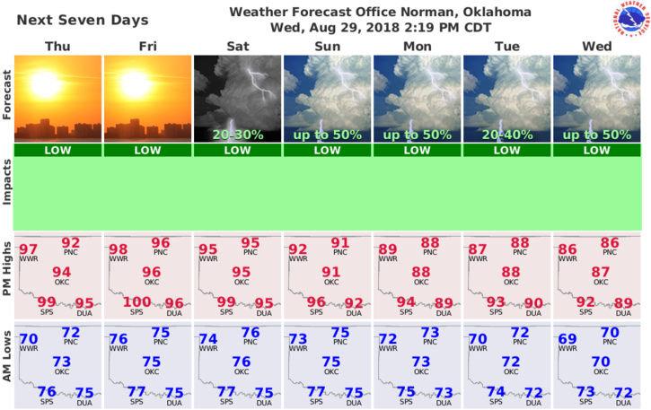
4- Here is your forecast from the NWS/NORMAN;
Thursday-Mostly sunny, with a high near 96. Heat index values as high as 104. South wind 6 to 14 mph, with gusts as high as 20 mph.
Thursday Night-Mostly clear, with a low around 77. South southeast wind 11 to 13 mph.
HAVE A GOOD DAY!!
MIKE