FROM GARFIELD COUNTY EMERGENCY MANAGEMENT-FRIDAY JULY 21, 2017
HEAT ADVISORY IN EFFECT NOW THROUGH “SATURDAY” UNTIL 8PM. EXTREMELY DANGEROUS HEAT CONDITIONS WILL CONTINUE TO AFFECT THE AREA THROUGH SATURDAY.
There is a chance for rain Sunday and maybe Monday but then the heat is back on for the rest of next week. It’s summertime so take the necessary precautions to protect yourself, the kids, and your animals.
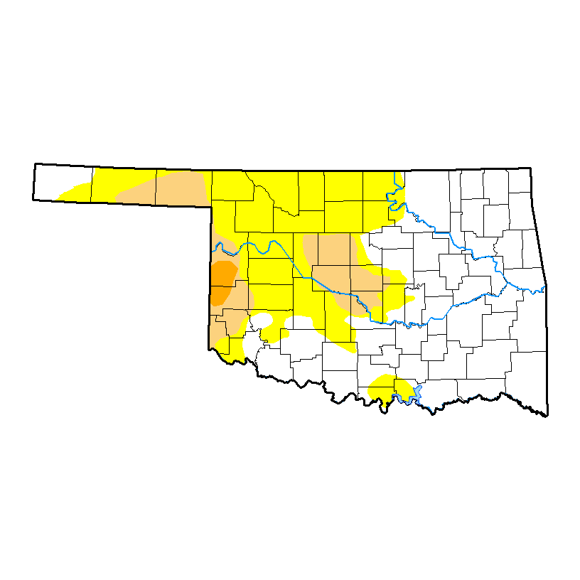
As stated yesterday, the FIRE DANGER is slowly returning so be extremely careful utilizing ANYTHING related to fire. According to the latest DROUGHT MONITOR, we are in the first stage of drought-“abnormally dry.” If substantial rainfall doesn’t occur, we’ll drift deeper into drought and restrictions may be put on outdoor burning in the future. There are NO RESTRICTIONS AS OF YET.
Here is your forecast from the NWS/NORMAN;
Friday-Sunny and hot, with a high near 103. Heat index values as high as 106. South wind 9 to 14 mph, with gusts as high as 20 mph.
Friday Night-Mostly clear, with a low around 79. South wind 10 to 14 mph, with gusts as high as 20 mph.
Stay safe, cool, and aware,
MIKE