0350L-FRIDAY OUTLOOK & INFO FROM GARFIELD COUNTY EMERGENCY MGMT-3/27/2020
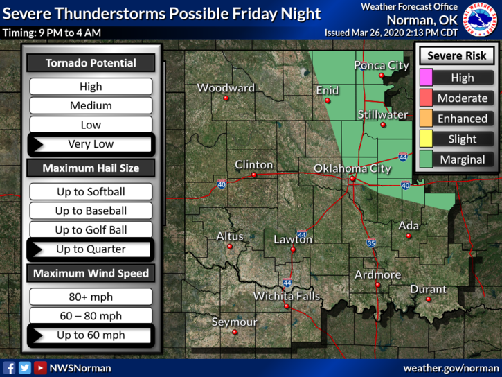
1-We are in a MARGINAL RISK AREA for severe weather later tonight. If storms occur, expect quarter size hail and winds possibly to 60 mph. We’ll see what happens. Overall, we’ll be ok.
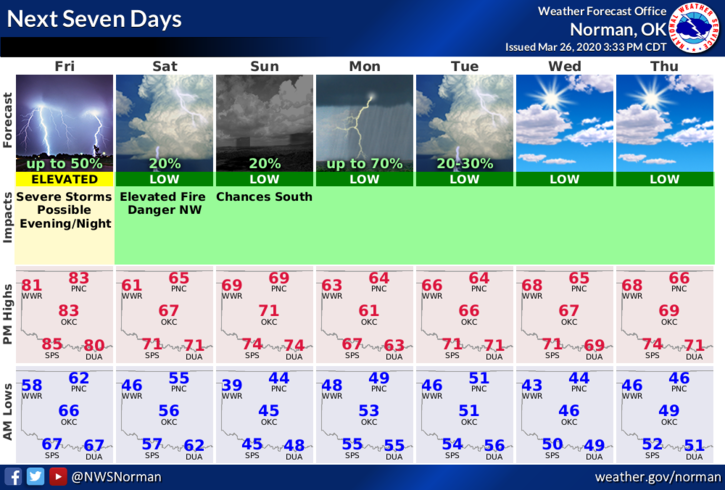
2-A cold front will push in later today into tonight bringing cooler temps for the overnight along with possibly some thunderstorms, then close to average temps during the day. We should see sunshine so get outside and enjoy as best you can.
3- Here is your forecast from the NWS/NORMAN;
Today-Decreasing clouds. Highs in the mid-80s. West winds around 10 mph shifting to the south in the afternoon.
Tonight-Partly cloudy. A chance of rain showers and isolated thunderstorms in the evening, then a slight chance of rain showers and isolated thunderstorms after midnight. Lows in the lower 50s. South winds 10 to 20 mph. Chance of precipitation 40 percent.
HAVE A GOOD DAY!!
MIKE