0410L-FRIDAY OUTLOOK FROM GARFIELD COUNTY EMERGENCY MANAGEMENT-5/31/19
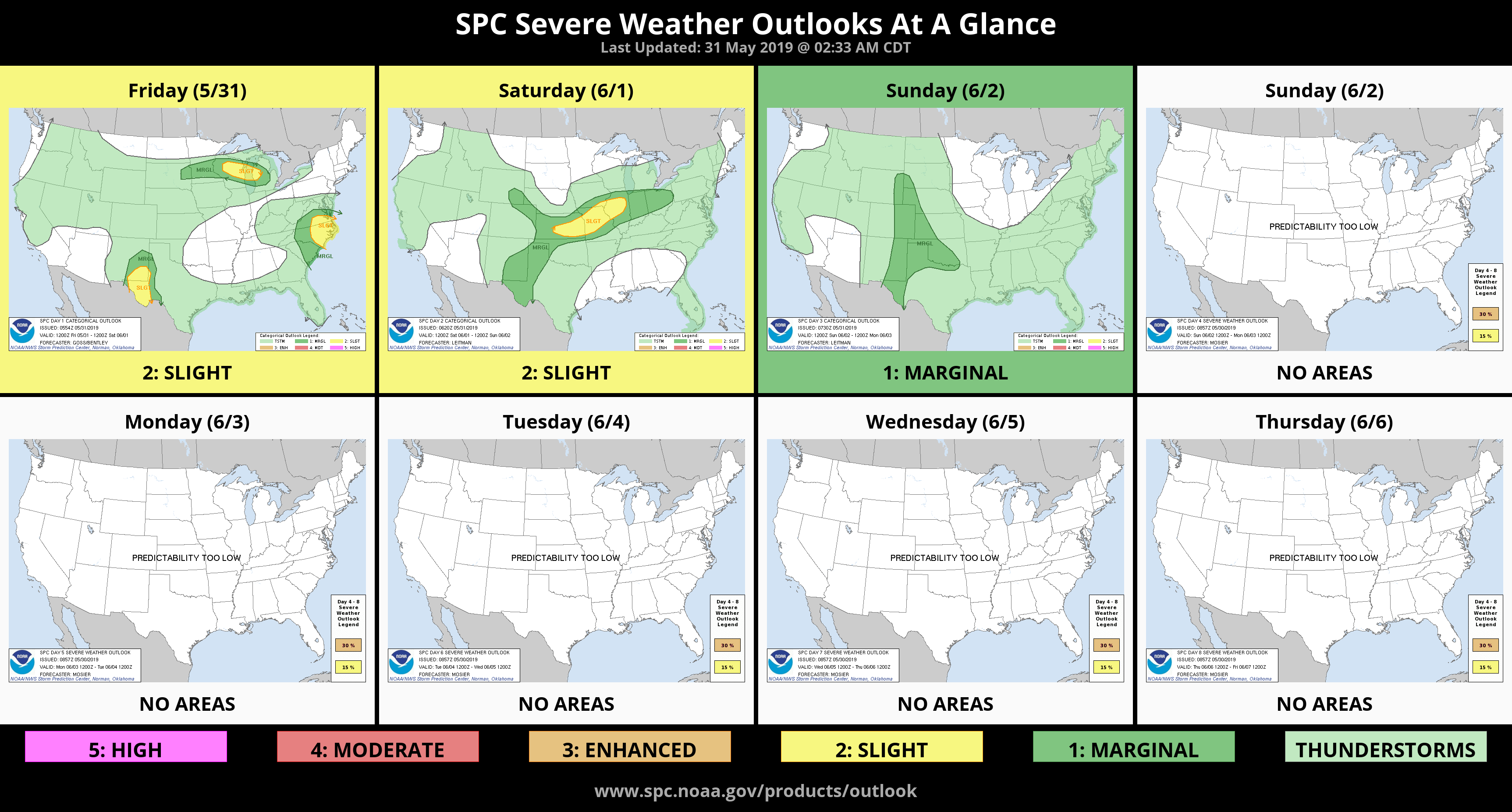
1- We are in a GENERAL thunderstorm risk area with an extremely low chance for any rain today. This changes Saturday with possibilities for rain through the next 6 days. This said, most likely if storms do occur, besides the normal threat for hail and winds, torrential rainfall will definitely be a major player and we don’t need any more rain.
2- Per guidance, the outlook for precipitation over the next 30-90 days is basically wet. This doesn’t mean it will rain all of the time but we “may” have a wetter than normal summer. We’ll just have to wait and see. Overall, we’ll be ok.
3- Take advantage of any good weather to accomplish tasks at home or for travel and just stay up to date on weather conditions. Be sure and download our GARFIELD COUNTY EM app for LOCAL information concerning weather or major incidents in the area and be sure to listen to our local radio stations during these events.
4- Here is your forecast from the NWS/NORMAN;
Friday- Mostly sunny with highs in the lower 80s. Winds will be light and variable.
Friday Night- Mostly clear with lows in the lower 60s. Winds will be light and variable.
HAVE A SUPER DAY!!
MIKE