0400L-FRIDAY OUTLOOK FROM GARFIELD COUNTY EMERGENCY MANAGEMENT-10/30/2020
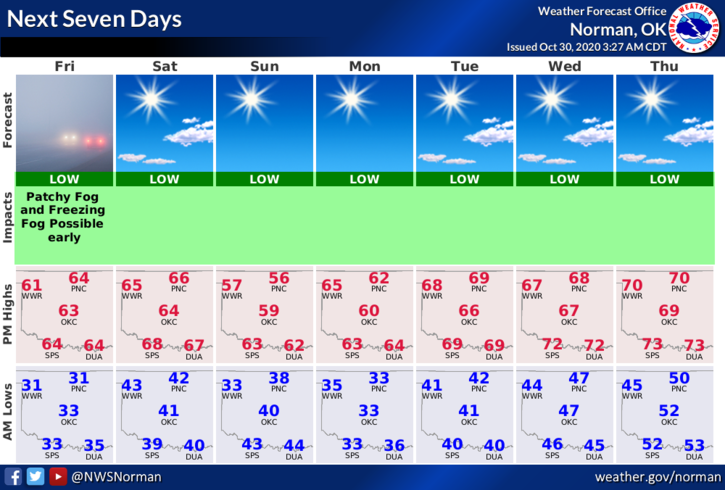
1- The sun is back and the ice is gone, at least for now and the cleanup will continue. Our next front will push in late Saturday dropping temps Sunday and Monday and then we’ll get back to near normal temps for the week. This should be a dry cold front.
2- Since it looks like a war zone in some areas due to limbs broken and, on the ground, you need to inspect those trees well especially up high. There may be some broken limbs hiding up there that may fall when the winds increase.
3-Overall, we’ll be ok so be careful and don’t get hurt while cleaning up your property. My big thing right now is I hope this wasn’t a precursor to how our winter will be since we are in a La Nina weather pattern. I guess we’ll see.
4- Here is your forecast from the NWS/NORMAN;
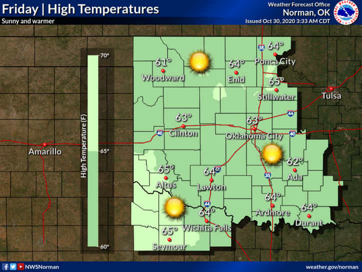
Today-Sunny, warmer. Areas of frost and patchy fog early in the morning. Highs in the mid-60s. South winds around 10 mph.
Tonight-Clear. Lows around 40. South winds 10 to 15 mph.
Have a good day!!
MIKE