0330L-MONDAY OUTLOOK FROM GARFIELD COUNTY EMERGENCY MANAGEMENT-4/26/21
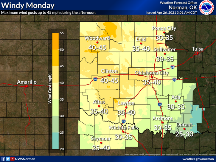
WIND ADVISORY IN EFFECT FROM 9 AM UNTIL 7 PM TONIGHT. WIND GUSTS TO 45 MPH ARE POSSIBLE. EAST/WEST TRAFFIC SHOULD USE EXTRA CAUTION WHILE DRIVING.
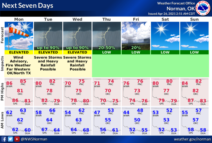
1-And the wind continues to blow. Expect strong southerly winds through at least Wednesday morning when a front pushes in shifting winds from south to northerly. North winds should prevail into late Friday and early Saturday when winds shift back out of the south per guidance.
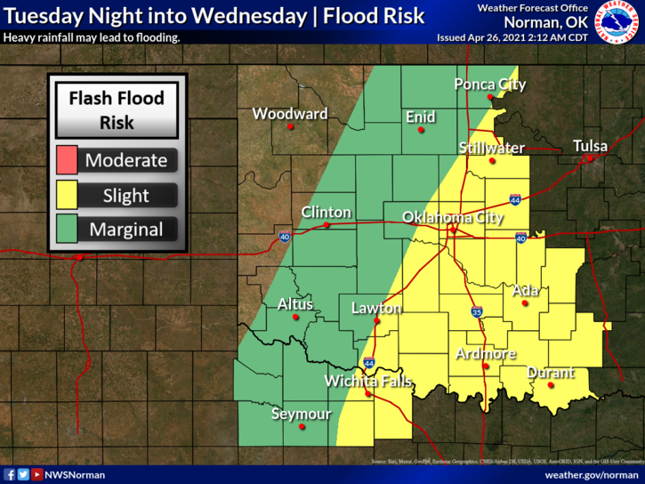
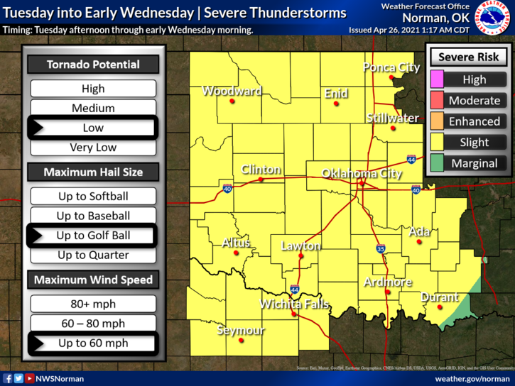
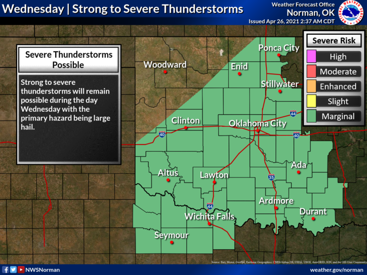
2- Thunderstorms, A FEW MAY BE SEVERE, will affect the area Tuesday through Thursday and we could see some flooding in the area. You all know what that means so use extreme caution especially in low lying areas. Guidance states that flooding rainfall may happen in the southeast part of the state but for now until forecast models come together, I will leave this possibility in here.
3- For today, warm, and windy. The Fire Danger is low but as always, if you see any, call 911.
4- Here is your forecast from the NWS/NORMAN,
Monday-Partly cloudy. Highs in the mid-80s. South winds 20 to 25 mph with higher gusts.
Monday Night-Partly cloudy. Lows in the lower 60s. South winds 15 to 25 mph with higher gusts.
HAVE A GOOD DAY!!
MIKE