0405L-TUESDAY OUTLOOK FROM GARFIELD COUNTY EMERGENCY MANAGEMENT-4/27/21
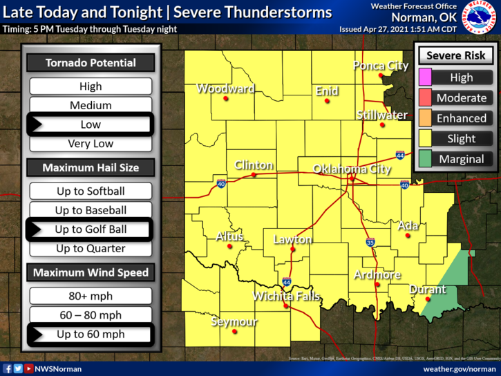
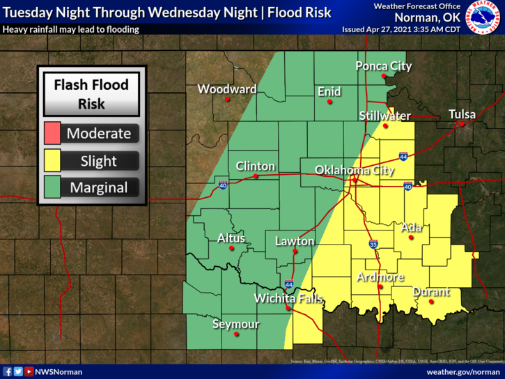
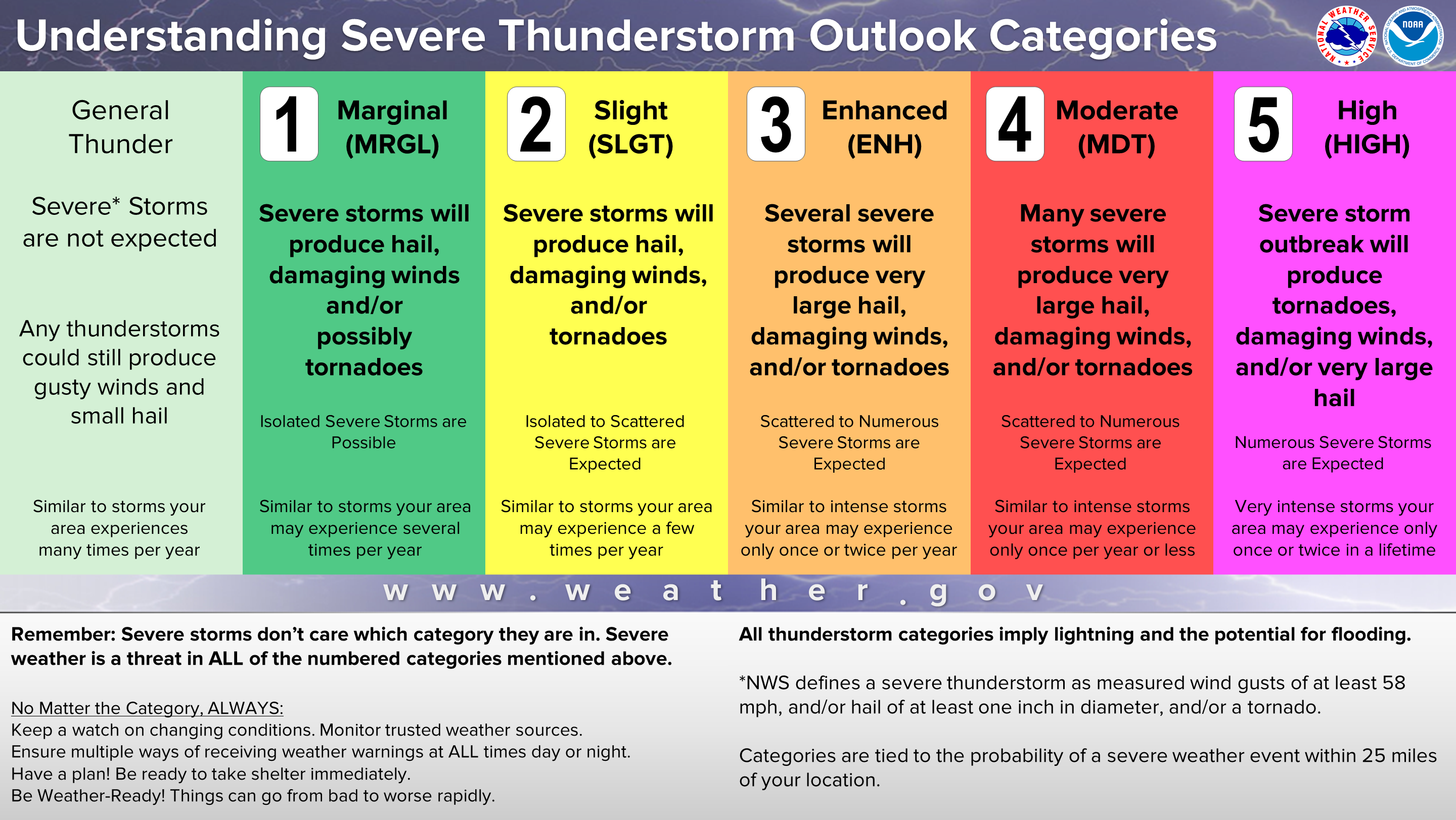
1-There is a SLIGHT RISK for severe weather later today as a storm system moves east, a cold front moves south, and moisture continues to move in. The main issue is timing of all these features. Models are still confused which makes forecasting difficult. What appears to be relevant is that we will experience some severe weather with hail and winds being the higher risks. All other threats are still relevant but at a lower percentage at this time. Flooding may become an issue too. We’ll have to wait and see how guidance changes during the day.
2- We’ll keep a close eye on all of this and send information out over our GARFIELD COUNTY EM app AS NEEDED throughout the day. Make sure you’ve downloaded it and understand how it works. You never know, it just might save your life!
3- Here is your forecast from the NWS/NORMAN;
Today-Mostly cloudy. A slight chance of showers early in the afternoon. A slight chance of thunderstorms late in the afternoon. Highs in the lower 80s. Southwest winds 15 to 25 mph. Chance of precipitation 20 percent.
Tonight-Mostly cloudy. A chance of thunderstorms in the evening, then a chance of showers and thunderstorms after midnight. Locally heavy rainfall possible after midnight. Lows in the lower 60s. South winds 10 to 20 mph. Chance of precipitation 50 percent.
FINALLY, overall, we’ll be ok but stay WEATHER AWARE as the day progresses and if you travel, stay aware of conditions in the area to travel too.
HAVE A GOOD DAY!
MIKE