0345L-MONDAY OUTLOOK FROM GARFIELD COUNTY EMERGENCY MANAGEMENT-8/31/2020
1-We are in a MARGINAL RISK for possibly some severe weather later this afternoon. If storms occur, damaging winds and large hail are the main threats. There is a SLIGHT RISK area just south of us where higher end storms may occur today too. If you plan on traveling, stay up with the latest from the NWS OFFICE nearest you and your destination. You can find them all here- https://gcem.org/links/
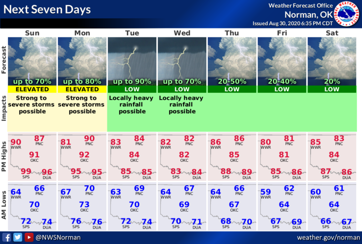
2- We are expecting a cold front to push in later today thus the severe weather possibilities in number 1 above. There are several variables per guidance so we’ll see what actually happens and where it happens. I would make sure anything loose around the yard be secured and hopefully we’ll see some rain. Here is your forecast from the NWS/NORMAN;
Monday-Partly cloudy. A slight chance of thunderstorms in the morning and in the afternoon. Highs in the lower 90s. West winds around 10 mph shifting to the northwest in the afternoon. Chance of thunderstorms 40 percent.
Monday Night-Mostly cloudy. 70% chance of thunderstorms in the evening, then thunderstorms likely after midnight. Lows in the upper 60s. East winds around 10 mph in the evening becoming light and variable.
FINALLY, starting tomorrow, you can view this information from our website www.gcem.org and under the GCEM BLOG icon on our GARFIELD COUNTY EM app. It has always been there but due to continuing changes and failures on social media, I will post on venues that work. I will put a link each morning to my posts. The COVID 19 posts and any warnings that we put out will be posted on the emergency management social media page. Future posts to our app will increase due to this change.
HAVE A GREAT DAY!!
MIKE