0357L-MONDAY OUTLOOK AND INFO FROM GARFIELD COUNTY EMERGENCY MGMT-7/13/2020
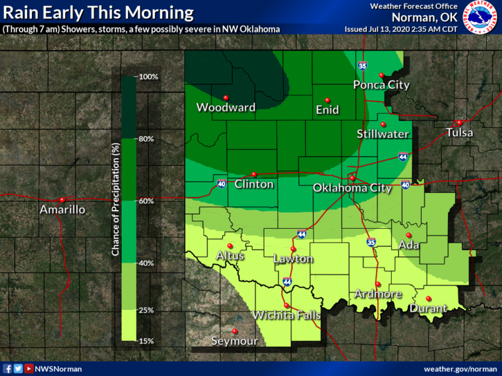
1- An MCS-Meso Convective System is moving across NW Oklahoma this morning. It will affect the area over the next few hours and then move on east. Some storm cells within it are severe. In those severe areas, expect 70 mph wind gusts, torrential rainfall, a lot of lightning, & quarter size hail.
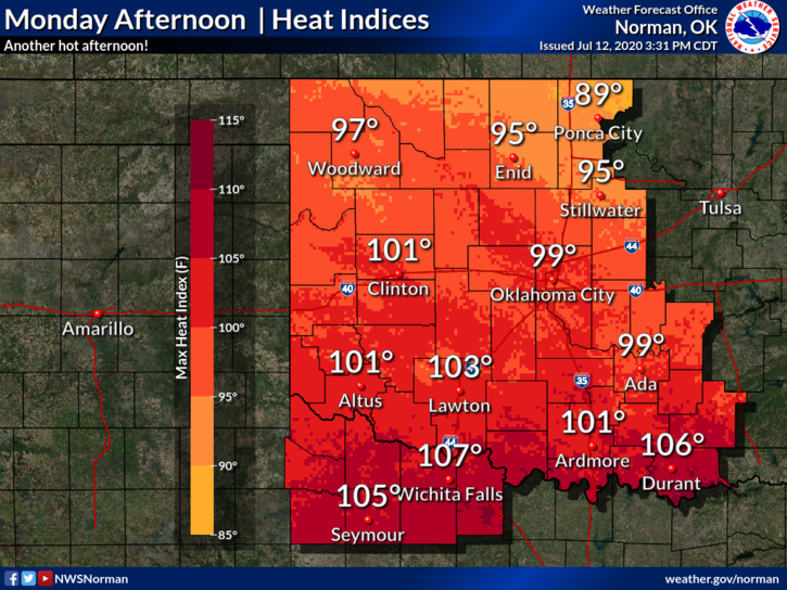
2- After this system moves off to the east, we will see sunshine and it will be a bit steamy out there and tomorrow may be worse in the heat category. We aren’t under any heat advisories as of yet but that may change depending on the effects of the rainfall this morning. We do expect another storm system tomorrow early morning too.
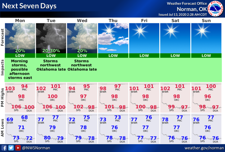
3- Here is your forecast from the NWS/NORMAN;
Today-Partly cloudy. A slight chance of thunderstorms early in the morning. Highs in the upper 90s. Southeast winds 10 to 15 mph. Chance of thunderstorms 20 percent.
Tonight-Partly cloudy. Lows in the upper 70s. Southeast winds around 15 mph.
HAVE A GOOD DAY AND STORMS WILL ARRIVE SHORTLY.
MIKE