0400L-MONDAY OUTLOOK & INFO FROM GARFIELD COUNTY EMERGENCY MGMT-5/11/2020
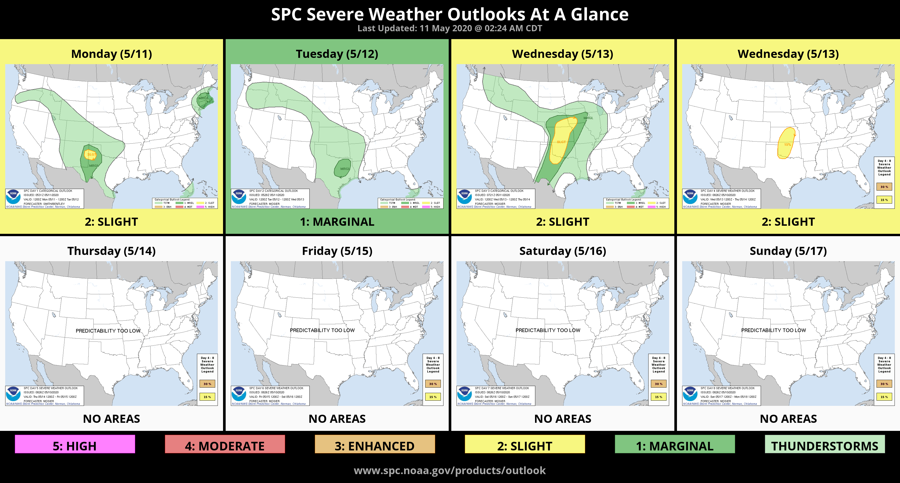
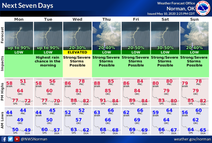
1- We are in a GENERAL THUNDERSTORM RISK area for today. As stated before, it will be hit and miss but expect to hear a little thunder at times during the day and maybe into the overnight hours tonight. No severe weather here today but if traveling, stay weather aware in the southern part of the state.
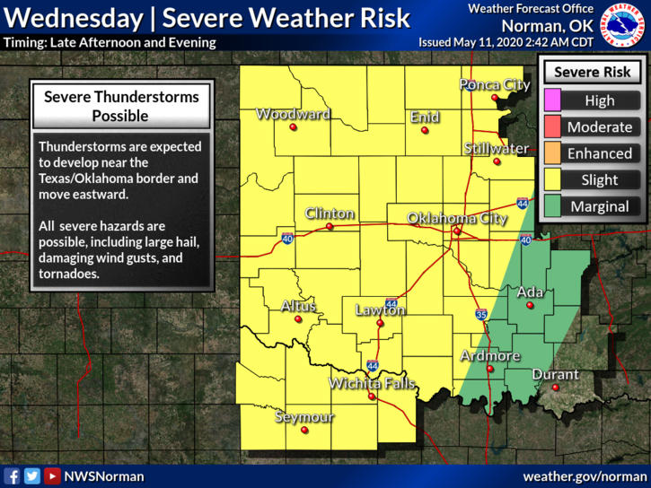
2- Wednesday still looks like a severe weather day so as stated before, just stay weather aware and we’ll see where the storm track lines up. We will be dealing with a trough to the west, a front to the north, a warm front to the south and a very distinct dryline to our immediate west. We’ll also have a strong low level jet to deal with. That is strong winds aloft which can intensify storms. It should be an interesting day and evening.
3- Here is your countywide forecast from the NWS/NORMAN;
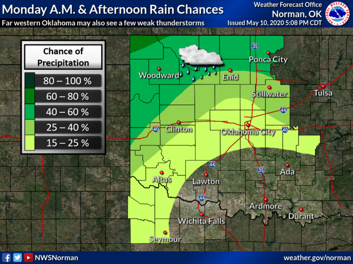
Today-Cloudy with rain showers likely early in the morning, then a chance of rain showers in the late morning and afternoon. Isolated thunderstorms in the afternoon with highs in the mid-50s. East winds 10 to 15 mph. Chance of precipitation 70 percent.
Tonight-Rain showers likely and a chance of thunderstorms in the evening, then rain showers and a chance of thunderstorms after midnight. Lows in the mid-40s. East winds 10 to 15 mph.
DIRECTORS COMMENT
RESEARCH, this is what folks should do when you can’t get the correct information from news sources, or wherever. Folks go to social media to get their news and we all know that is a problem. Censorship is occurring along with many other issues and folks need to learn to investigate on their own. Even search engines are censoring information. Much of this is agenda driven so do your due diligence and use whatever sources you need to, to find the truth.
HAVE A GOOD DAY!!
MIKE