0400L-MONDAY OUTLOOK & INFO FROM GARFIELD COUNTY EMERGENCY MANAGEMENT-10/28/19
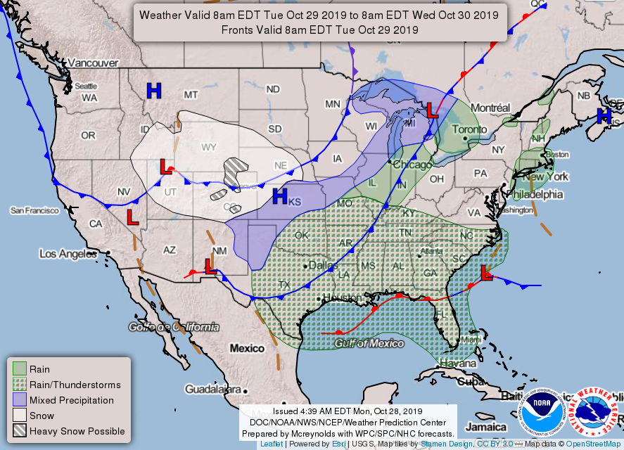
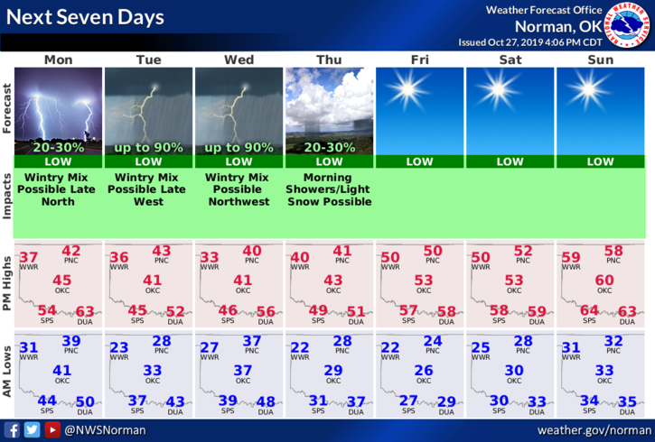
1- CHILLY WEEK in store so you need to be prepared for this. There is a chance we could see some freezing precip tonight and again Wednesday into Thursday. If this occurs, drive carefully and watch out for those expert drivers who can navigate high speeds on ice and snow.
2- Any winter precip will be dependent on temperatures and we are fairly dry in the lower levels, per guidance BUT moisture will stream our way and make this week interesting. If you plan on traveling north or west, CHECK FORECASTS CAREFULLY along your route and at your destinations.
3-Winter weather advisories for the county will automatically come through our GARFIELD COUNTY EM app so stay alert to those. Radar on our app is down since it is tied to the Vance radar which is down for a major overhaul. I am working on this issue.
4- Here is your forecast from the NWS/NORMAN;
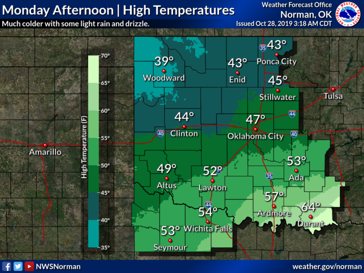
Monday-20 percent chance of rain or drizzle mainly this afternoon. Cloudy, with a high near 42. North wind 10 to 15 mph.
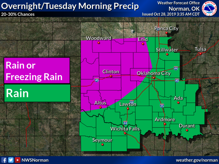
Monday Night-A slight chance of rain before 1am, then a slight chance of freezing rain. Cloudy, then gradually becoming partly cloudy, with a low around 28. North wind 10 to 15 mph. Chance of precipitation is 20%.
HAVE A GOOD DAY!!
MIKE