0400L-SATURDAY OUTLOOK FROM GARFIELD COUNTY EMERGENCY MANAGEMENT-5/22/21
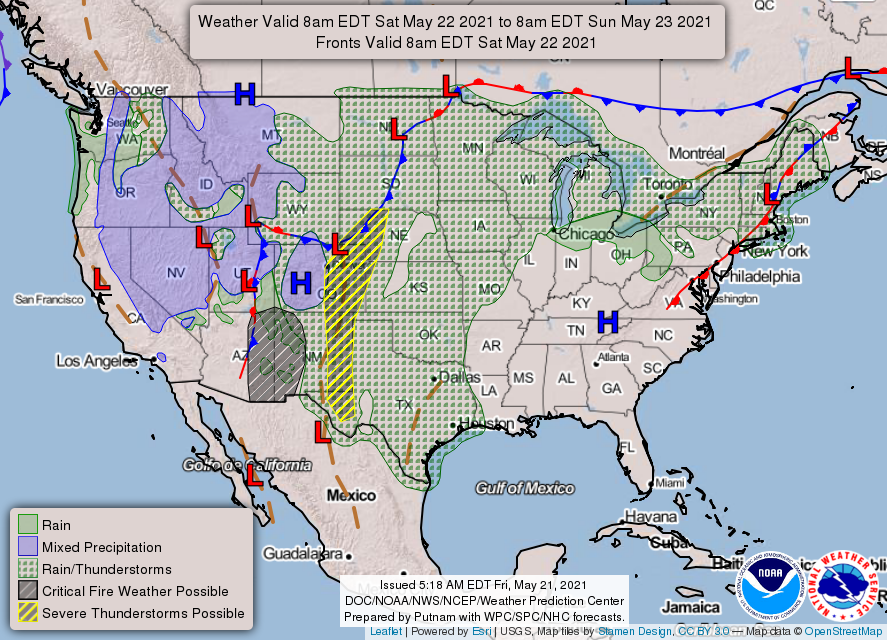
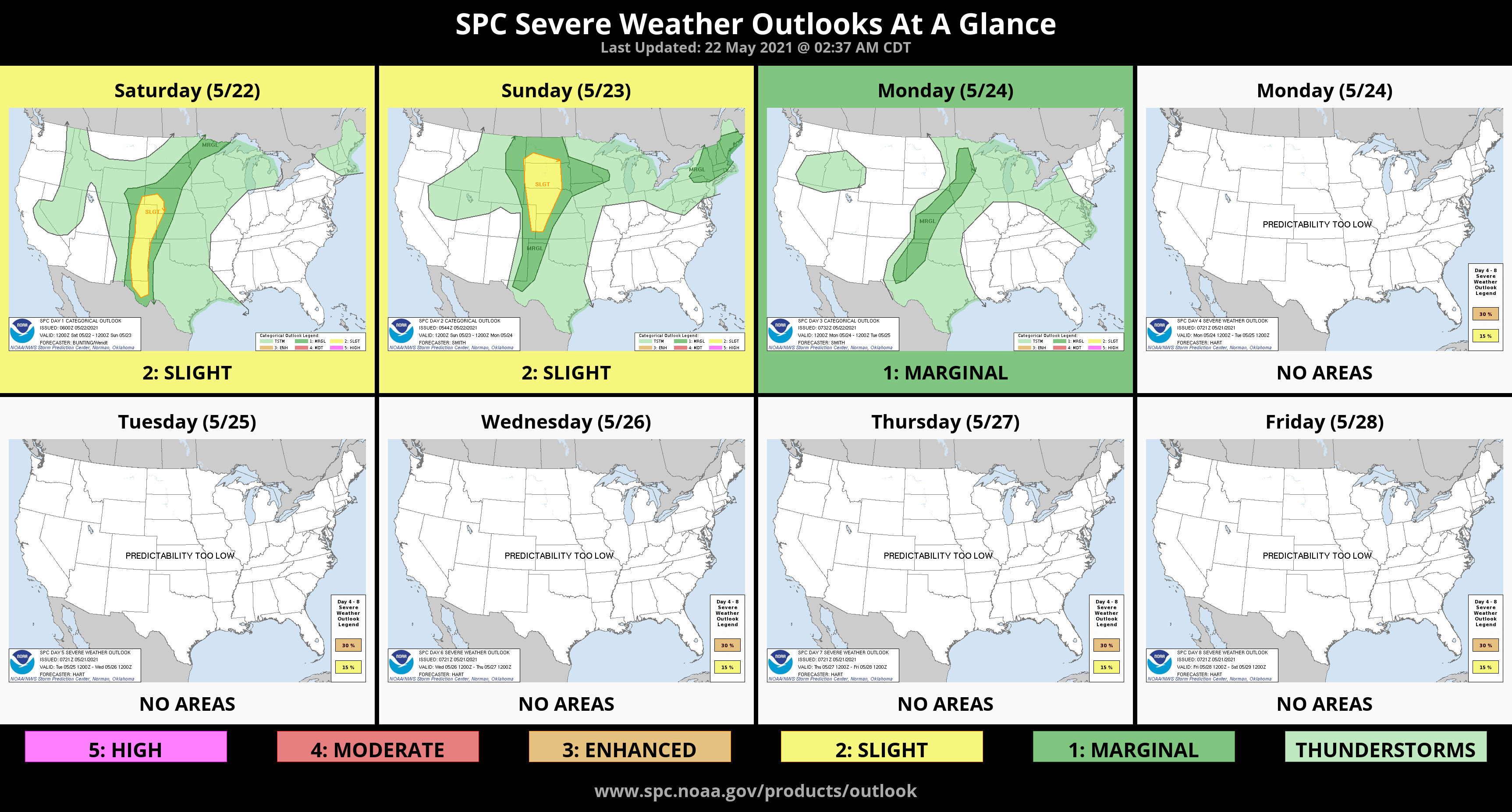
GENERAL THUNDERSTORM AREA TODAY.
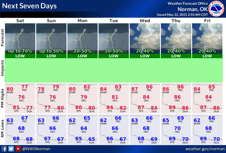
1- Cloudy, humid, and possibly some rain. This will be the story through this up and coming week. Severe weather, as it appears right now, is very low but you may hear some thunder at times as cells roll through the area. Nothing to worry about at this time.
2-Depending how hard it does rain, as I have stated this past week, FLOODING could occur in some areas. FYI, a few days ago, the town of Hillsdale in NW Garfield County received ¼ of an inch. 2 miles north of Hillsdale, 3 inches of rainfall occurred. Just understand in a humid or tropical environment, a lot of rain can happen in a short time.
3- Overall, we’ll be ok so here is your forecast from the NWS/NORMAN;
Today-Mostly cloudy. A chance of showers early this morning and then later in the morning. Chance of thunderstorms in the afternoon. Highs in the upper 70s. Southeast winds 10 to 15 mph with higher gusts. Chance of precipitation 50 percent.
Tonight-Mostly cloudy. A chance of showers and a slight chance of thunderstorms in the evening, then a chance of showers after midnight. Lows in the mid-60s. Southeast winds 10 to 15 mph with higher gusts. Chance of precipitation 40 percent.
HAVE A GOOD DAY!!
MIKE