0425L-SATURDAY OUTLOOK FROM GARFIELD COUNTY EMERGENCY MANAGEMENT-5/29/21
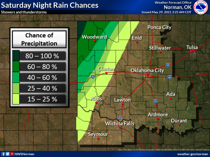
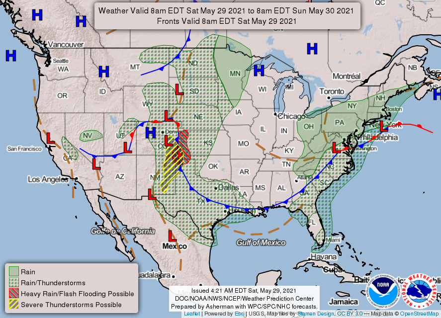
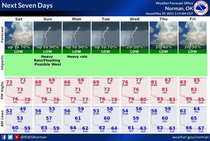
1-We are in a GENERAL Thunderstorm risk for possibly late tonight after midnight. No severe storms are expected. During the day, we should see partly cloudy skies with light winds. Sunday and Monday we can look forward to high chances for showers and thunderstorms.
2- Many folks are leaving town for the lakes this weekend. Today should be ok but the water will be cold so be careful concerning Hypothermia. With water temps where they are right now, Hypothermia could set in within an hour or depending on the person. Watch the kids carefully as their lip turning blue could be that first sign even though they say that they are ok. Just adding some input here.
3- Overall, we’ll be ok so enjoy the day and then the rains come and we’ll see what happens. Here is your forecast from the NWS/NORMAN;
Today-Partly cloudy. Highs in the mid-70s. East winds around 10 mph.
Tonight-Partly cloudy. Lows in the lower 50s. East winds around 10 mph.
Finally, be sure and download our GARFIELD COUNTY EM app. It just might save your life!!
HAVE A GOOD DAY!!
MIKE