0400L-SATURDAY OUTLOOK FROM GARFIELD COUNTY EMERGENCY MANAGEMENT-10/24/2020
1- FREEZE WARNING IN EFFECT UNTIL 9 AM THIS MORNING. Hopefully, most folks took the proper precautions. A FREEZE WATCH IS IN EFFECT FROM 10PM SUNDAY NIGHT THROUGH 10 AM MONDAY MORNING.
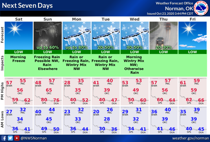
2- There really isn’t too much to say other than winter is slowly pushing into the area. Over the weekend we’ll see highs in the 50s and lows in the upper 20s to low 30s. Most everyone in our area will see a hard freeze by next Wednesday. It still isn’t too late to get things around the house done and winterized before the colder air gets here so get it done!!
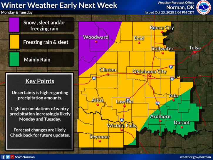
Also, light freezing rain/drizzle is what we are expecting here in the area Monday through Wednesday. There could be some snow BUT slow down and drive carefully as slick conditions may exist either way.
3- Here is your forecast from the NWS/NORMAN;
Saturday- Mostly cloudy through mid-morning, then gradual clearing, with a high near 53. Northeast wind 6 to 10 mph becoming southeast in the afternoon.
Saturday Night- Increasing clouds, with a low around 39. East wind 8 to 10 mph.
HAVE A GOOD DAY!!
MIKE