0350L-SUNDAY OUTLOOK & INFO FROM GARFIELD COUNTY EMERGENCY MGMT-2/23/2020
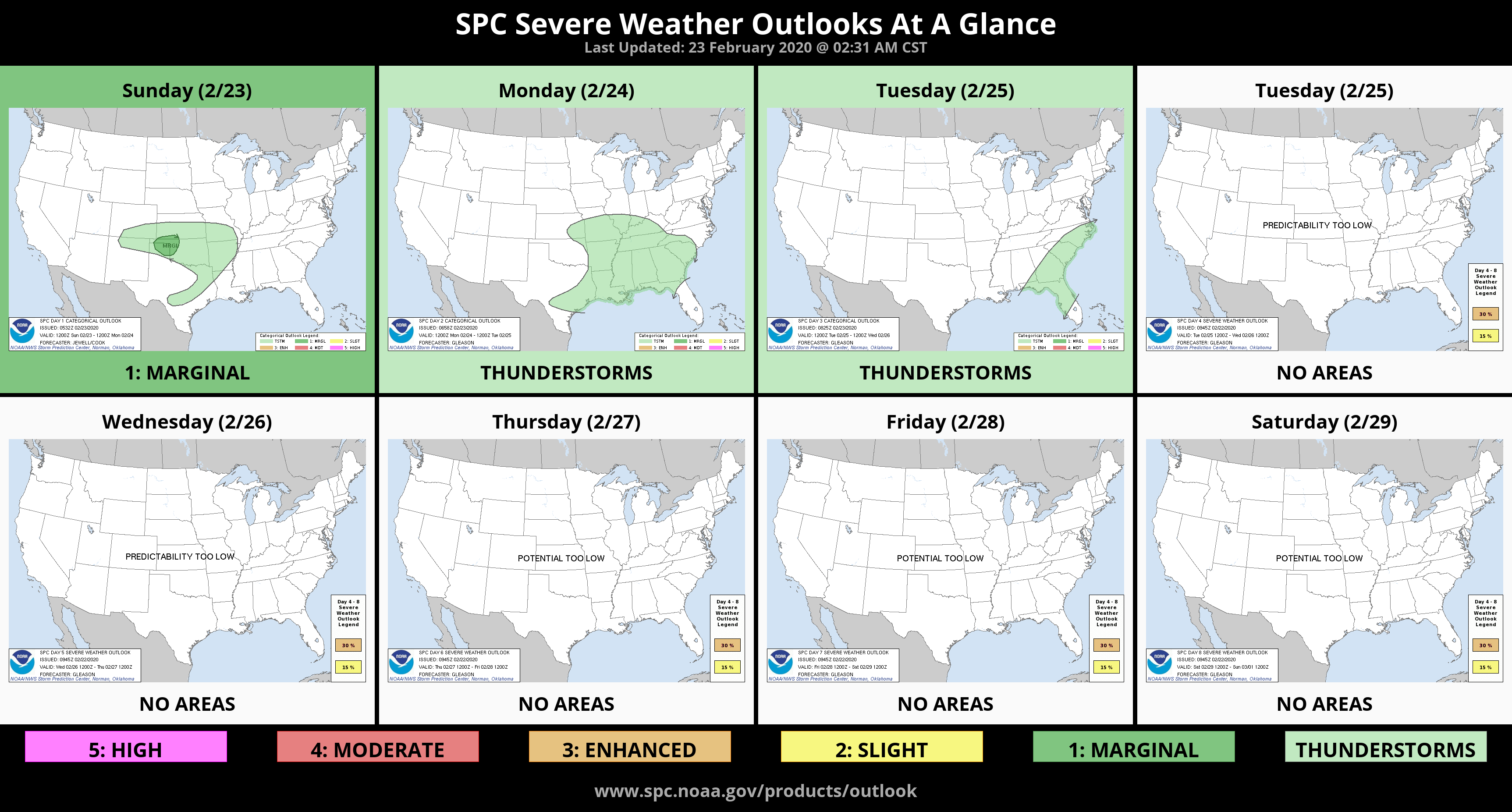
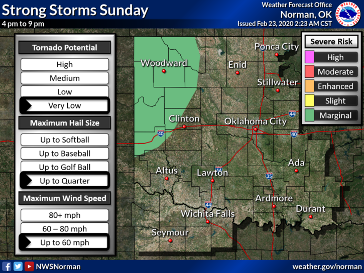
1- We are in a GENERAL THUNDERSTORM RISK for today with a MARGINAL RISK out west. See the first graphic attached. If you plan to travel out west later today, STAY WEATHER AWARE. Their risks would be hail and possibly a weak tornado per the SPC. For us we may see some hail but storms should be mostly elevated alleviating any severe risk. We’ll see how this mess sets up.
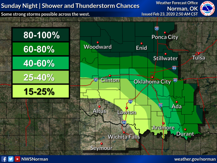
2-Overall, we’ll be ok. Rainfall could be heavy at times so any area that has the potential to flood needs to be watched carefully. Stay aware of this if it occurs and don’t drive through high water. TURN AROUND, DON’T DROWN.
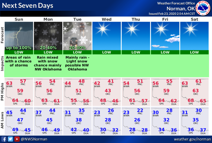
3- Here is your county-wide forecast from the NWS/NORMAN;
Today-A chance of rain showers late in the morning. Rain showers and a slight chance of thunderstorms in the afternoon. Highs around 60. South winds 10 to 15 mph.
Tonight-Rain showers and a slight chance of thunderstorms in the evening, then a chance of rain showers and a slight chance of thunderstorms after midnight. Lows in the lower 40s. Southeast winds 10 to 15 mph shifting to the southwest after midnight.
FINALLY- we’ll keep an eye out on the inbound weather but download our GARFIELD COUNTY EM app today. You’re NOT PREPARED without it!
MIKE