0410L-SUNDAY UPDATE FROM ENID/GARFIELD COUNTY EMERGENCY MANAGEMENT-7/1/18
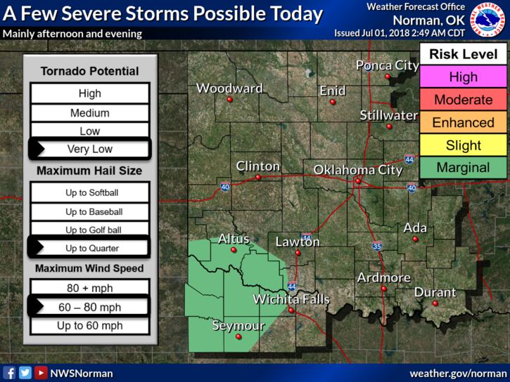
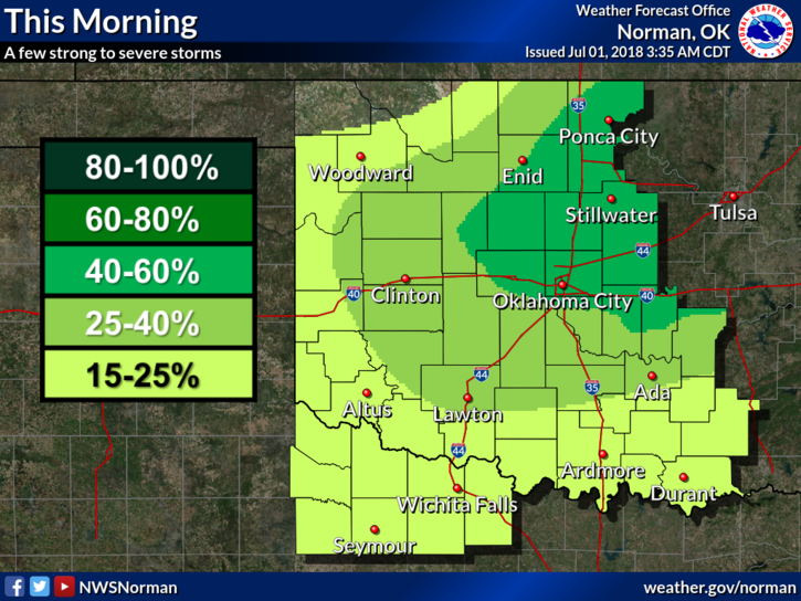
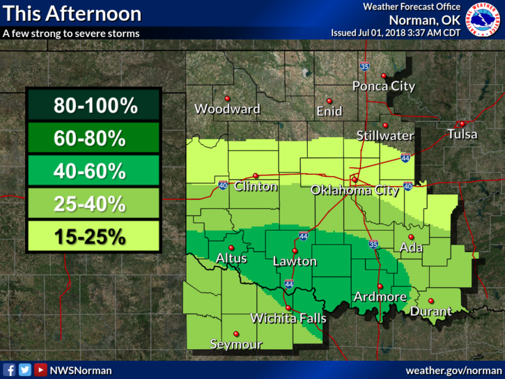
1- THE FRONT didn’t make it overnight but should be an influence this morning as it actually moves through the area. It should be south of us by noon or so and any severe threat SHOULD remain south. We do have a 60% chance for rain this morning. ALSO, “NO” heat advisory today.
2-Several folks have sent me damage reports through our GARFIELD COUNTY EM app. PLEASE make sure you put your name, address, and contact number. The pics are great by the way.
3-OVERALL, we’ll be ok. Here is your forecast from the NWS/NORMAN;
Sunday-Showers and thunderstorms likely before 7am. Partly sunny with a high near 88. Southeast winds 5 to 10 mph becoming north northwest this morning. Chance of precipitation is 60%.
Sunday Night-Mostly cloudy with lows around 72. East northeast winds 5 to 10 mph.
HAVE A GREAT DAY!!
MIKE