0400L-SUNDAY OUTLOOK FROM GARFIELD COUNTY EMERGENCY MANAGEMENT-10/10/21
GARFIELD COUNTY EM is our notification app. Be sure and get it downloaded BEFORE the weather turns bad. NWS WARNINGS automatically come through our app.
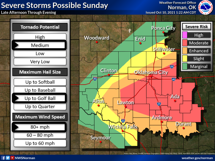
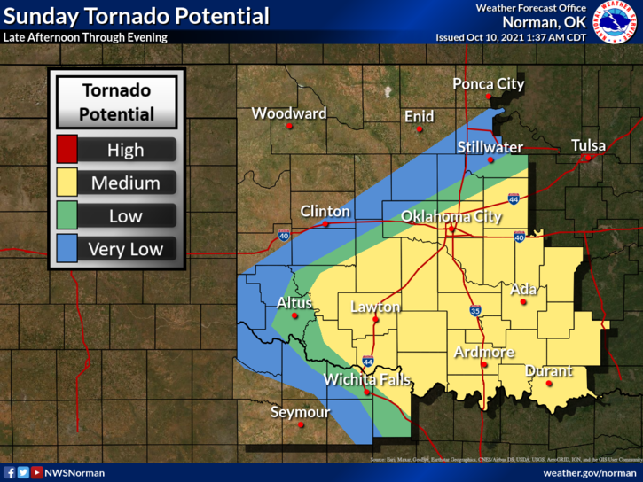
1- Garfield County is in a MARGINAL risk for possibly some severe weather later today. A storm system moving in from the west, a cold front coming in from the north and POSSIBLY deep moisture making it in here by mid afternoon along with deep shear and a strong mid-level jet are all the ingredients needed for severe weather. TIMING will be the big thing so if the cold front can make it through before the western mess arrives, that will lessen our chance for severe storms. Hopefully, we’ll see some rainfall.
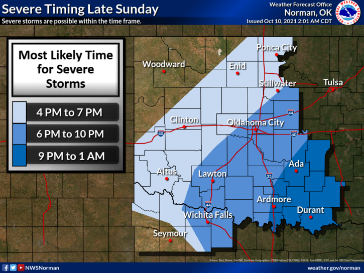
2- IF YOU PLAN ON TRAVELING SOUTH OR EAST- stay extremely weather aware late today and especially tonight as all hazards that come with severe weather are possible. This event will occur mostly after dark east and south of us.
3- Here is your forecast from the NWS/NORMAN;
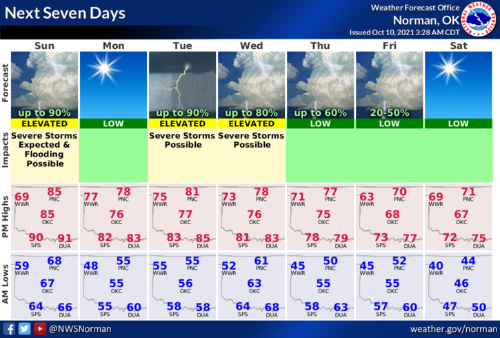
Today-Sunny in the morning, then partly cloudy with a slight chance of thunderstorms early in the afternoon. Mostly cloudy with thunderstorms likely late in the afternoon. Not as warm. Highs in the mid-80s. Southwest winds 10 to 15 mph shifting to the northwest 10 to 20 mph in the afternoon. Chance of thunderstorms 60 percent.
Tonight-Thunderstorms in the evening, then thunderstorms likely after midnight. Cooler. Lows in the lower 50s. Northwest winds 10 to 20 mph.
FINALLY: I may do a live video on social media early this afternoon if the briefing I attend later this morning shows anything major for our area.
STAY SAFE
MIKE