FROM GARFIELD COUNTY EMERGENCY MANAGEMENT
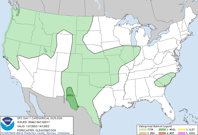
The storm system has slowed down and the possibility for storms is a little less today but if the rain actually occurs, we could get around an inch or so. There are a lot of variables out there right now on what will happen for sure but when you have slow moving systems just taking their sweet time moving across the area, it creates a timing nightmare. If it rains today, look for that to occur this afternoon into the overnight hours. If conditions change, we’ll post that here around mid-day or so.
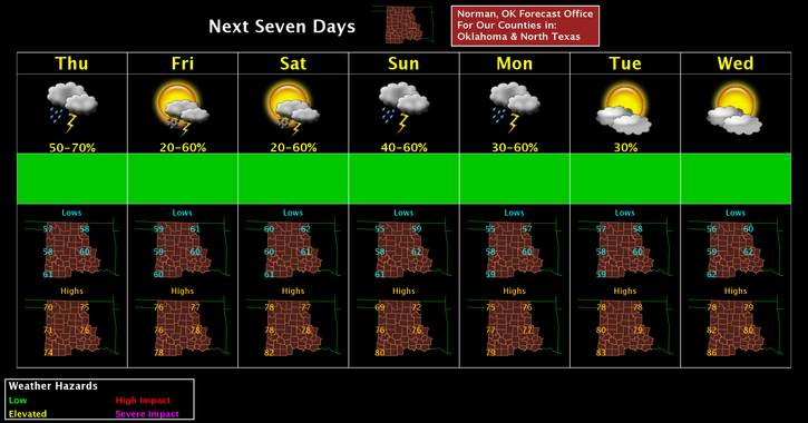
Here is your forecast from the NWS/NORMAN;
Thursday-Showers and thunderstorms likely, mainly after 1pm. Cloudy, with a high near 72. South southeast wind 7 to 11 mph. Chance of precipitation is 70%. New rainfall amounts between a tenth and quarter of an inch, except higher amounts possible in thunderstorms.
Thursday Night-Showers and thunderstorms likely, mainly before 1am. Cloudy, with a low around 60. South southeast wind 11 to 14 mph, with gusts as high as 20 mph. Chance of precipitation is 60%. New rainfall amounts between a half and three quarters of an inch possible.
HAVE A SUPER DAY!!
MIKE