0335L-THURSDAY OUTLOOK & INFO FROM GARFIELD CO. EMERGENCY MANAGEMENT-8/1/19
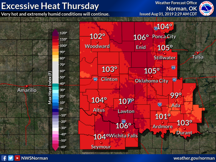
1-HEAT ADVISORY IN EFFECT AGAIN TODAY from noon until 8pm. Heat indices will be around 106-108. Add the wind; we’ll see a blast furnace effect while outdoors. Extreme caution is advised.
2-GARFIELD COUNTY EM, this is our app. You’re best prepared with it than without it.
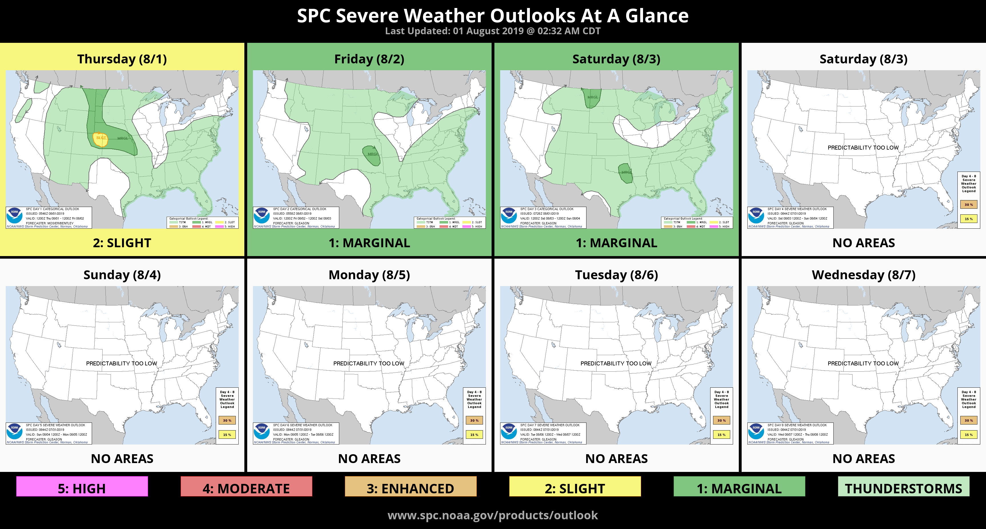
3- There is a Marginal risk for thunderstorms Friday evening as a front approaches. We’ll see what happens!!
4- Here is the last MYTH/FACT ON LIGHTNING I’ll post this week;
Myth: If thunderstorms threaten while you are outside playing a game, it is okay to finish it before seeking shelter.
Fact: Many lightning casualties occur because people do not seek shelter soon enough. No game is worth death or life-long injuries. Seek proper shelter immediately if you hear thunder. Adults are responsible for the safety of children.
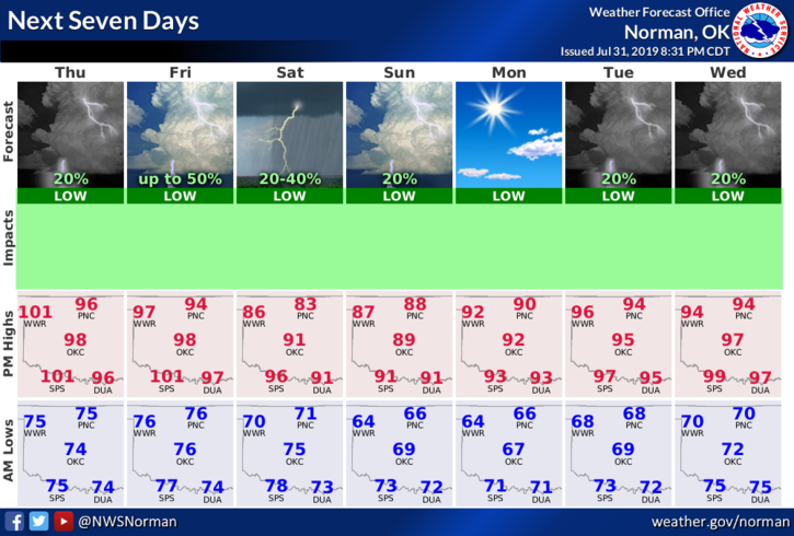
5- Here is your forecast from the NWS/NORMAN;
Thursday-Mostly sunny and hot with a high near 101. Heat index values as high as 106. South winds 10 to 20 mph, with gusts as high as 25 mph.
Thursday Night-Partly cloudy with a low around 76. South winds 10 to 20 mph with gusts as high as 25 mph.
HAVE A GOOD DAY AND STAY COOL!!
MIKE