0335L-THURSDAY OUTLOOK FROM ENID/GARFIELD COUNTY EMERGENCY MANAGEMENT-12/13/18
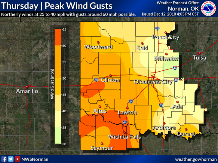
WIND ADVISORY IN EFFECT FROM 9AM THURSDAY MORNING UNTIL 6AM FRIDAY MORNING. NORTH WINDS 20-30 MPH GUSTING TO 40 MPH ARE POSSIBLE. It wouldn’t surprise me to see this upgraded to a warning “possibly” later today.
1- NO controlled burning today. It would get out of control very quickly. Powerlines may be whipping out there too, so if you see sparking going on, call 911 and a response will be sent.
2- There is a low rain chance today too. I am not holding my breath but we can only hope some rainfall will occur out of all this.
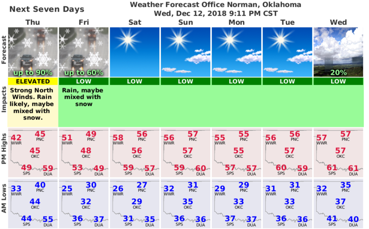
3- Here is your forecast from the NWS/NORMAN;
Thursday– Mostly cloudy with a chance of rain. Windy, colder. Highs in the lower 40s. North winds 15 to 25 mph increasing to 25 to 35 mph in the afternoon gusting to 40 mph. Chance of rain 50 percent.
Thursday Night-Mostly cloudy. A chance of rain in the evening, then a slight chance of rain and snow after midnight. Colder. Lows in the upper 20s. North winds 15 to 25 mph. Chance of precipitation 40 percent.
HAVE A SUPER DAY!
MIKE