0330L-THURSDAY OUTLOOK FROM GARFIELD COUNTY EMERGENCY MANAGEMENT-1/06/22
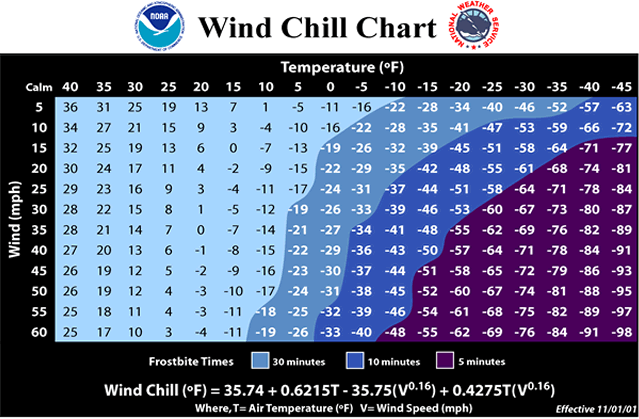
1- WIND CHILL ADVISORY FROM 0300 UNTIL 1000 LOCAL TIME THIS MORNING. Be sure to cover up this morning and keep in mind that Hypothermia can occur quickly in these temperatures so use extreme caution if you plan on being outdoors.
2- We are in a Severe Drought right now and we need rain. New drought information should come out this morning. I don’t see the drought info getting any better until we see substantial rainfall and that isn’t in the picture at least for now or the coming week. The Fire Danger is up there too. If you see smoke or fire, call 911.
3-Overall, we’ll be ok but as stated above, use extreme caution if you are outdoors and stay warm. Here is your forecast from the NWS/NORMAN;
Thursday-Mostly cloudy, then gradually becoming sunny, with a high near 23. Wind chill values as low as -10. North wind 15 to 20 mph decreasing to 10 to 15 mph in the afternoon. Winds could gust as high as 29 mph.
Thursday Night-Mostly clear, with a low around 11. Wind chill values as low as zero. North northeast wind 5 to 10 mph becoming southeast after midnight.
HAVE A GOOD DAY!