0355L-THURSDAY OUTLOOK FROM GARFIELD COUNTY EMERGENCY MGMT-7/23/2020
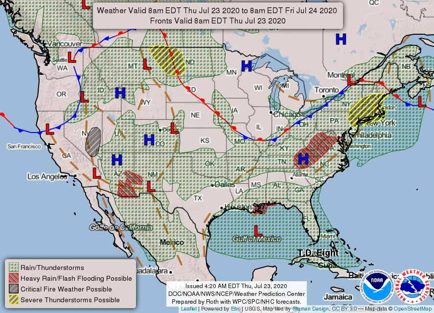
1- We are in a GENERAL THUNDERSTORM RISK area for today. If storms get going, it would due to mostly isolated diurnal convection. These type storms are the ones that would pulse up and down and cause a lot of rain and winds. The higher threat is south but they could happen anywhere when convective temperatures are reached. IF storms occur, our precipitable water value could support an inch of rain per hour. We’ll see what happens and adjust accordingly.
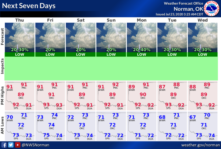
2- Here is your forecast from the NWS/NORMAN;
Today- Isolated thunderstorms in the afternoon with highs in the lower 90s. Southeast winds around 10 mph. Chance of thunderstorms 20 percent.
Tonight- Partly cloudy with lows in the mid-70s. Southeast winds around 10 mph.
HAVE A GREAT DAY!!
MIKE