0415L-WEDNESDAY OUTLOOK & INFO FROM GARFIELD COUNTY EMERGENCY MGMT-7/22/2020
1-First of all, THANK YOU for your rain totals yesterday. Amazing how much rain can fall in an area between Mesonet sites and how much they can vary. Remember to keep a close eye out for snakes and other critters and keep the kids out of the creeks. Snakebites are no fun and tetanus shots hurt.
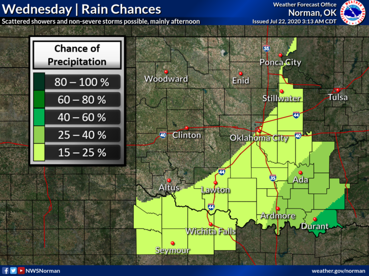
2- The rain threat today looks to be in the southeast half of the state. If you plan on traveling, stay weather-aware. The atmosphere will be unstable and storms will pulse up and down as we have experienced over the last several weeks. If rain occurs in our area, the precipitable water values will be high, meaning we could see high amounts of rainfall as we saw yesterday. We’ll continue to monitor and advise as needed. This is JULY, right??
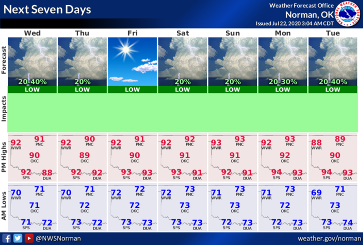
3- Here is your countywide forecast from the NWS/NORMAN;
Today- Mostly sunny. Highs in the lower 90s. Light and variable winds becoming southeast around 10 mph in the afternoon.
Tonight-Clear. Lows around 70. Southeast winds around 10 mph.
HAVE A GOOD DAY!!
MIKE