0415L-THURSDAY OUTLOOK & INFO FROM GARFIELD COUNTY EMERGENCY MGMT-6/18/2020
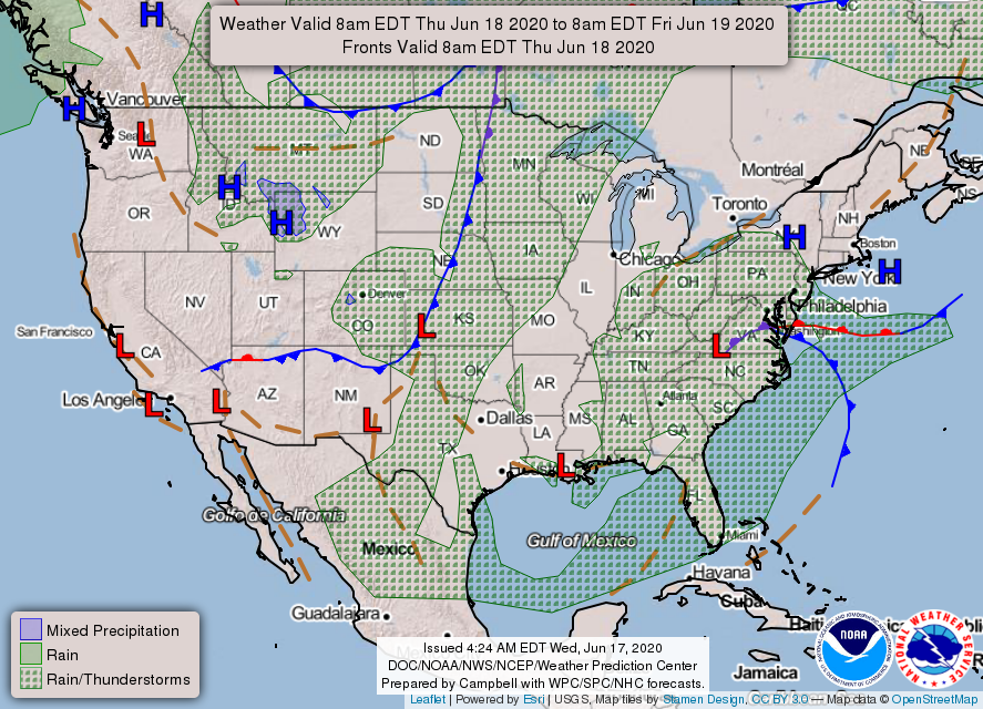
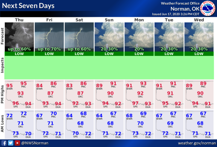
1- MARGINAL RISK for storms this evening & overnight. If storms occur, damaging winds will be the main threat. As it looks right now, we may have an overnight event so we’ll watch this carefully and see what happens. This will become the basic norm for the next 3 to 4 days. We need the rain so this will beat eating dirt, smoke, and soot.
2- The fire danger will exist today with temps in the mid-90s, humidity around 30%, south winds 15-25 mph with higher gusts. If the forecast rainfall doesn’t occur, we will continue with a lesser fire danger with higher humidity. It will take a little more to get it going. Overall, let it rain.
3- Here is your forecast from the NWS/NORMAN;
Thursday-Mostly sunny with a high near 96. South winds 15 to 25 mph gusting to 29 mph.
Thursday Night-40 percent chance of showers and thunderstorms. Mostly cloudy with a low around 69. South winds 10 to 20 mph becoming northeast in the evening. Winds could gust as high as 25 mph.
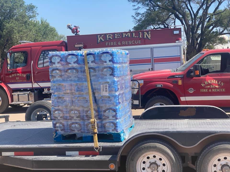
FINALLY, thank you to Enid Bruckner Truck Sales and Jumbo Foods for providing water for Kremlin Fire and The Hillsdale-Carrier Fire District. WE APPRECIATE IT VERY MUCH.
HAVE A GREAT DAY!!
MIKE