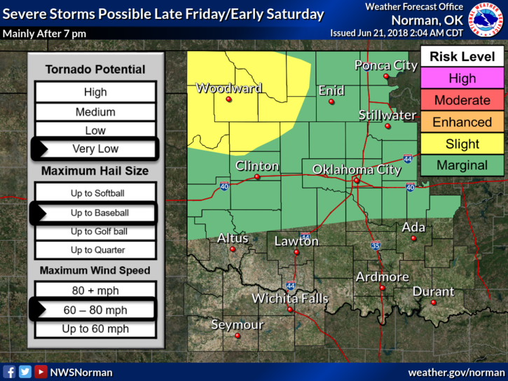
0420L-THURSDAY UPDATE FROM ENID/GARFIELD COUNTY EMERGENCY MANAGEMENT-6/21/18
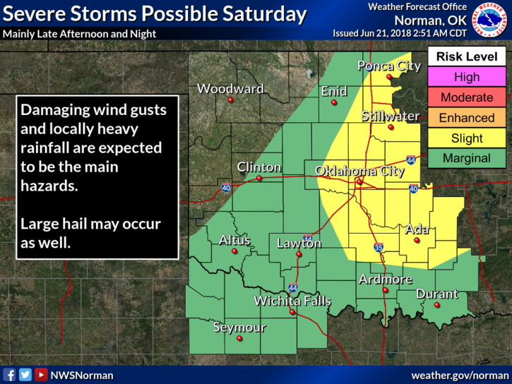
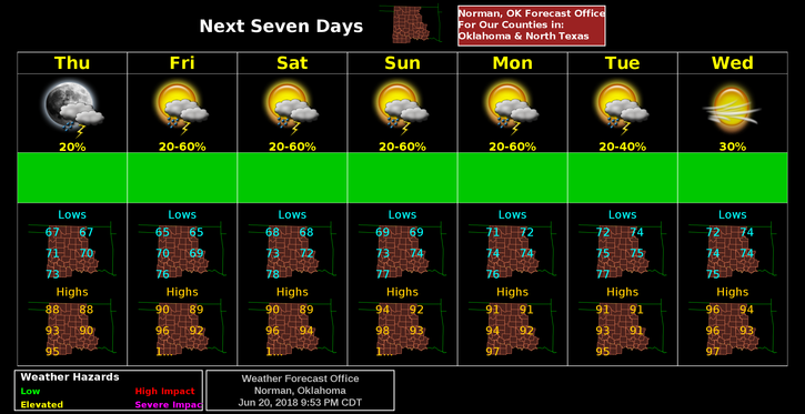
1- ANOTHER WARM/HOT DAY WITH RAIN CHANCES GOING UP FRIDAY AND SATURDAY.
2- For today, we are in a GENERAL THUNDERSTORM RISK AREA. Basically hit and miss if storms occur.
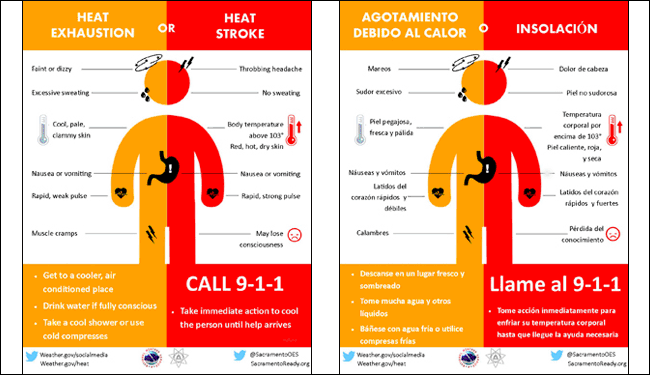
3- Stay aware of how you’re feeling if you’re outdoors. The heat and humidity could be an issue.
4- Here is your forecast from the NWS/NORMAN;
Thursday-10% chance for isolated showers before 7am. Sunny with a high near 91. Northwest wind 5 to 15 mph, with gusts as high as 25 mph.
Thursday Night-Partly cloudy, with a low around 65. Northwest wind 5 to 15 mph becoming north northeast after midnight. Winds could gust as high as 20 mph.
HAVE A GREAT DAY AND STAY SAFE
MIKE