0400L-THURSDAY OUTLOOK & INFO FROM GARFIELD COUNTY EMERGENCY MGMT-5/28/2020
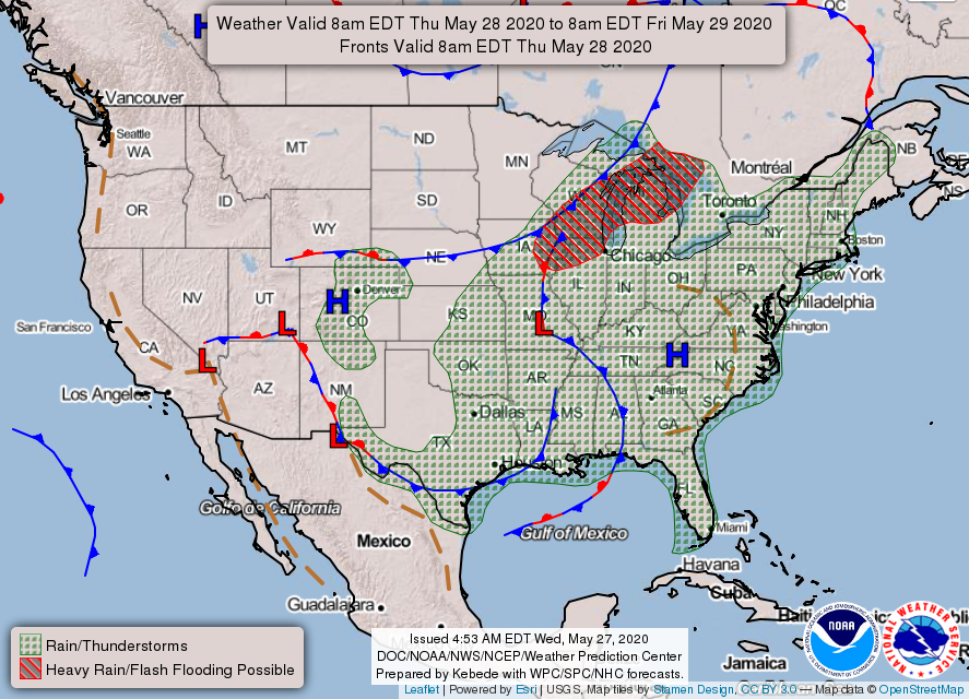
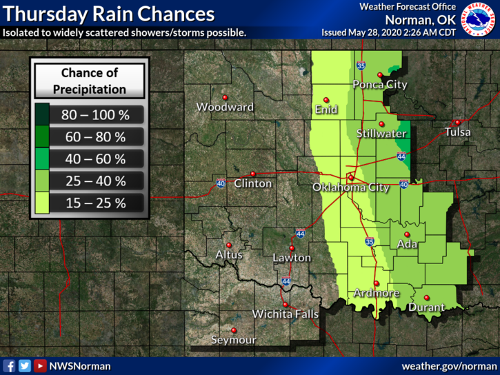
1- We are in GENERAL THUNDERSTORM RISK for today as that upper low moves east. Showers and storms are possible early this morning since we are on the back side of this low. We aren’t expecting any severe weather but a shower or two are not out of the question. Mostly clear skies should be the norm LATE this afternoon.
2- Temperature-wise, we will hover in the low to mid-80s through Saturday increasing to the upper 80s to low 90s by Sunday through at least mid-week. Low temps will average in the 60s. Summer is creeping towards us so keep that in mind while working outside, If you have heat issues or have suffered with heat related issues in the past, pace yourselves while working outside.
3-Here is your forecast from the NWS/NORMAN;
Today-Mostly cloudy with a 20% chance of thunderstorms until late afternoon. Highs in the lower 80s with north winds 10 to 15 mph.
Tonight-Mostly clear. Lows in the upper 50s. North winds 10 to 15 mph in the evening becoming light and variable.
HAVE A GREAT DAY
MIKE